
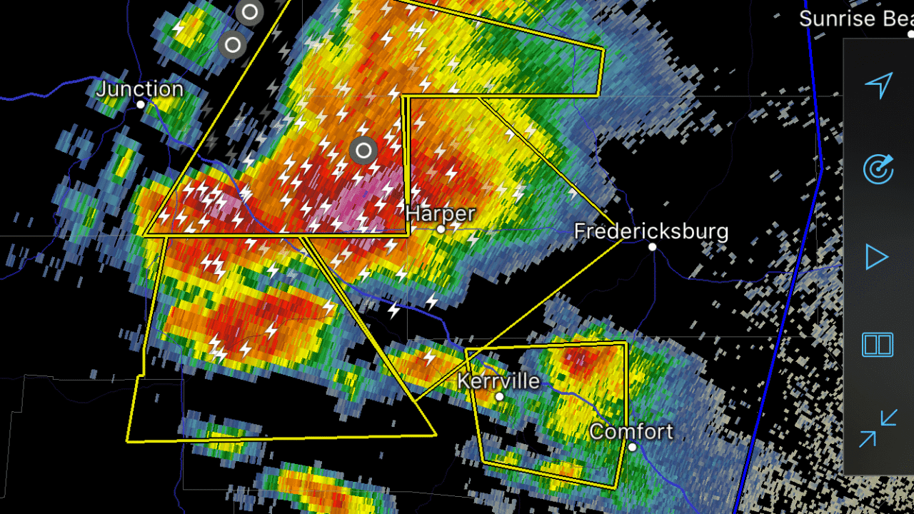
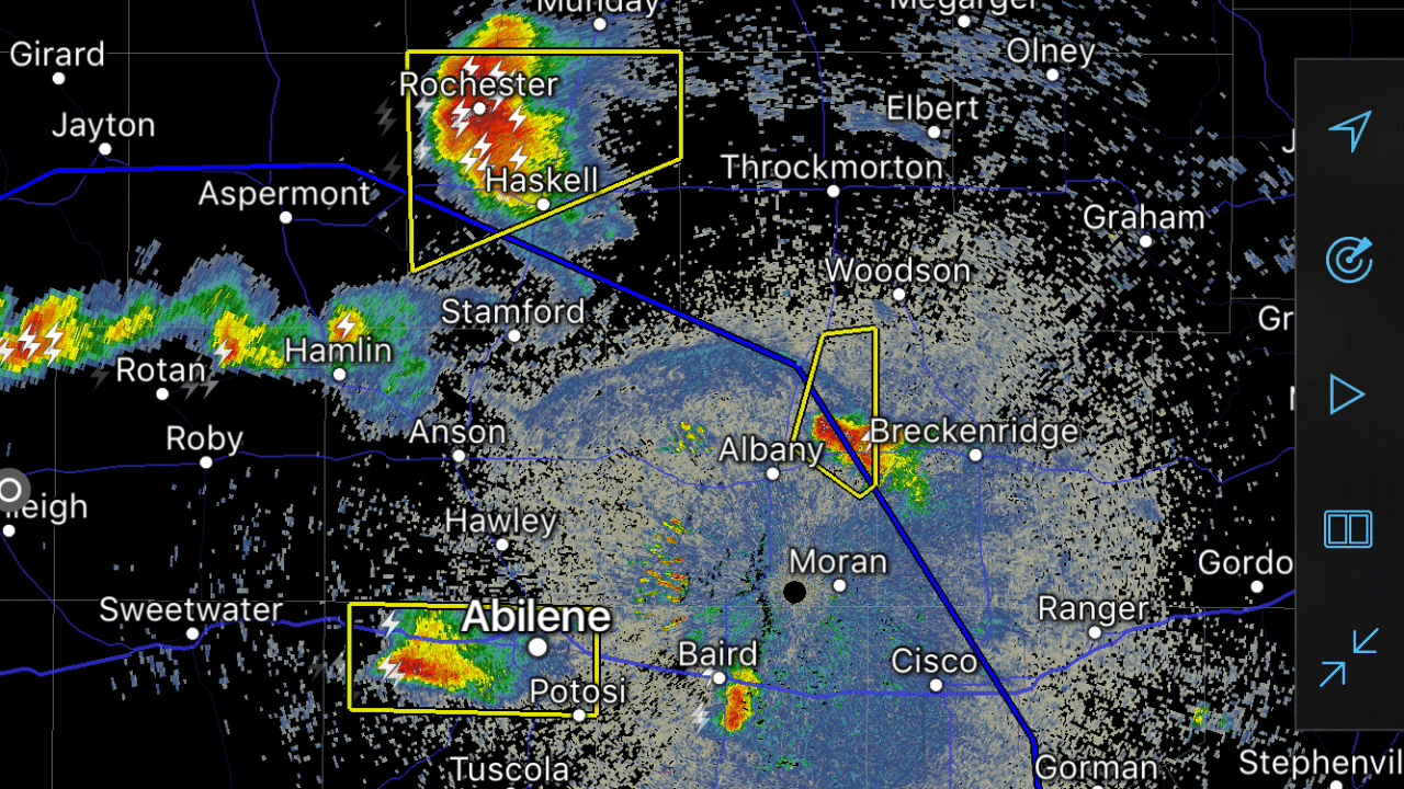
At 815PM the primary and most intense storm ongoing is near Harper, Texas – or 25 miles west of Fredgresigburg. This storm is very intense on radar with hail larger than the size of baseballs and localized wind gusts over 80 MPH possible. A tornado warning expired a few minutes ago but intense wind gusts and giant hail remain a good bet. This storm is generally moving towards Mountain Home and Kerrville down the road. There are indications that this storm is becoming a part of a cluster of storms – which would enhance the threat of damaging wind gusts as it moves southeast towards Kerrville and Comfort over the next two hours. Other severe storms are ongoing – albeit less intense across the Concho Valley and Big Country. These storms will likely weaken over the next few hours but at this point continue to pose a threat of large hail. The threat for flash flooding is also of a concern with the complex of storms in the western HillCountry. As the complex slowly moves southeast it could produce copious amounts of rain in addition to the threat of large hail and damaging winds.


0 Comments