

Scattered showers will remain possible today across Southwest Texas, into the Hill Country, South-Central Texas, Central Texas, extending back south through Deep South Texas into the Rio Grande Valley. Most of the showers will remain on the light side. Some spots may pick up an additional quarter to one half inch of rain through tonight. A few heavier showers/storms may occur in the Rio Grande Valley. The heaviest activity will probably remain south of the International Border or out in the Gulf.

Isolated to scattered showers will be possible on Thursday in the Permian Basin, Concho Valey, Southwest Texas, into the Rio Grande Valley. Some locations may pick up a quarter to one half inch of rain. Like today heavy activity should be near or just offshore the Rio Grande Valley. Some heavy downpours are possible in the RGV.

Numerous showers and thunderstorms are expected in the Rio Grande Valley on Friday. Some heavy rain with localized flooding will be possible. Isolated showers/storms will also be possible in the Borderland and Permian Basin. Compared to the Rio Grande Valley the activity further west will be lighter due to limited moisture.
Isolated showers will remain possible this weekend in the Permian Basin extending northeast into North Texas. An upper level wave will be moving overhead this weekend. Moisture levels will be pretty low, so the rain chances and any potential amounts look to be very light.

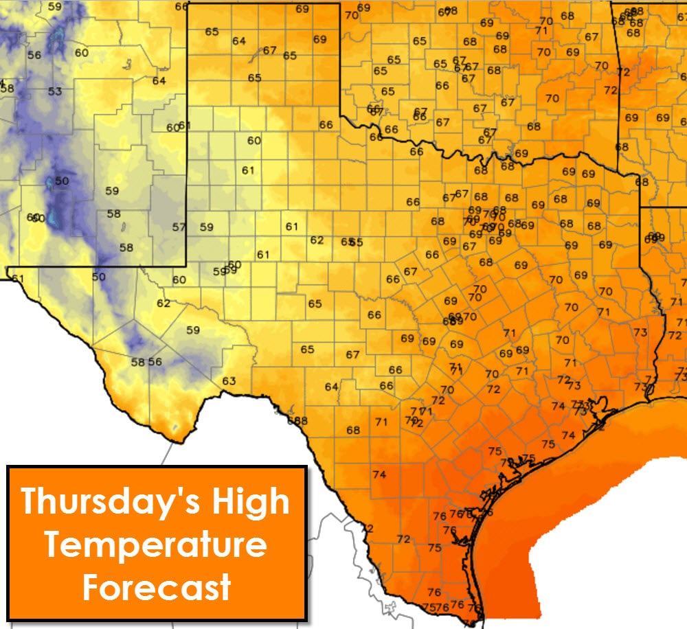


High temperatures over the next five days will remain near seasonal averages with highs in the 50s, 60s, and 70s. A slight uptick in temperatures is expected this weekend with more in the way of 70s than 60s. Overnight lows should be comfortable, albit cool in the northwest sections of Texas.
A significant storm system is possible by late next week, around November 21. This system could bring a chance of precipitation along with our first real shot of cold air this season. We’ll keep tabs on it closely, but don’t expect any sort of specific forecast information until early next week.
0 Comments