
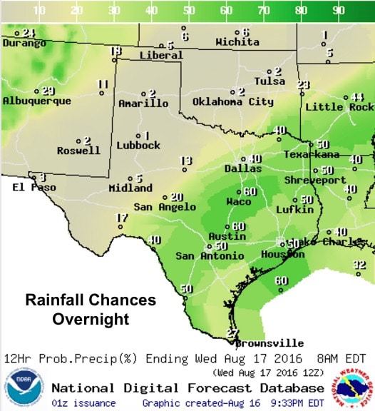
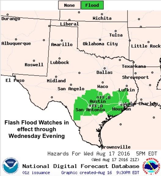
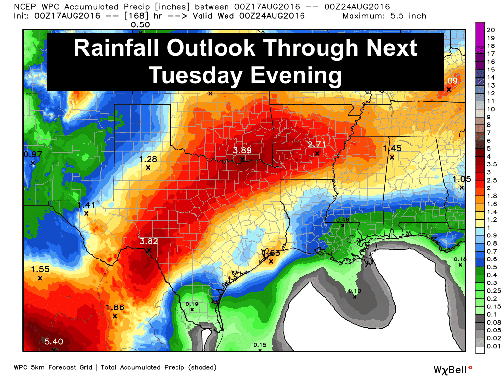
The rain from earlier this afternoon will continue to decrease intensity for the next several hours before regenerating during the overnight hours. Flash Flood Watches remain in effect for much of south central Texas through Wednesday evening with an additional pockets of 2-3 inches likely along with isolated higher rainfall amounts possibly in excess of 4 inches. As we saw earlier today, wherever the heaviest rain bands set up, those areas will see a quick dump of 2+ inches within just a couple of hours creating minor flash flood conditions. The warm front will slowly drift north dragging deeper moisture along with it. This will mean better chances of rainfall across parts of northern Texas which have missed out on seeing much rain over the past several days.
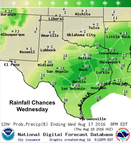
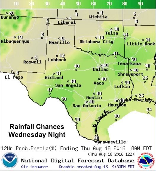
Tomorrow through Thursday, we’ll see rain chances shifting further into north Texas with decreasing chances for rainfall further south. Unfortunately, we’ll still be dealing with pockets of heavy rain across parts of central Texas and we’ll likely see some minor flash flooding issues with that depending on where the heaviest rainfall develops. Similar to this evening, we’ll see the rainfall rates begin to diminish during the late evening and early overnight hours, only to see heavier rainfall redeveloping during the early morning hours and continue through the daytime peak heating hours. Severe weather is not likely with only marginal instability in place, but we’ll likely hear at least a few rumbles of thunder as these storms build and worth their way north/northeast.
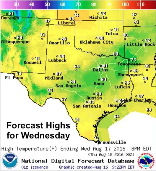
And in looking ahead…we won’t be done with this rainfall anytime soon! Rain and storms will remain in the forecast off and on through the weekend and into next week along with the arrival of yet another cold (cool) front dropping down into southern Oklahoma this weekend and a couple of weak upper level disturbances crossing overhead. This will also keep temps on the cool side for late August through the weekend and into next week as well. Enjoy it while it lasts!

0 Comments