
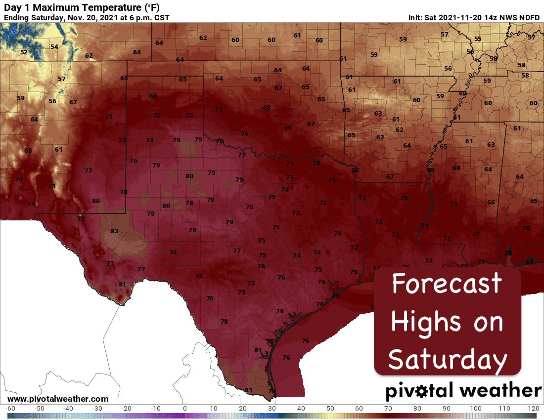
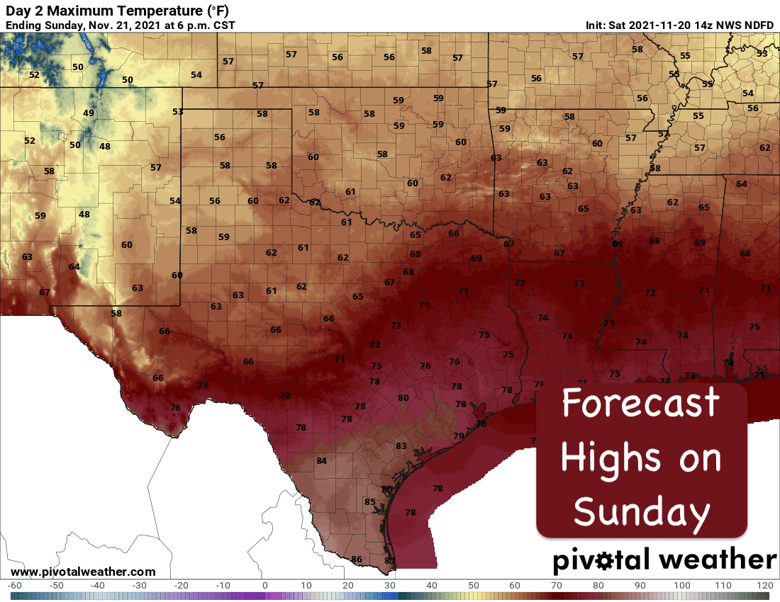
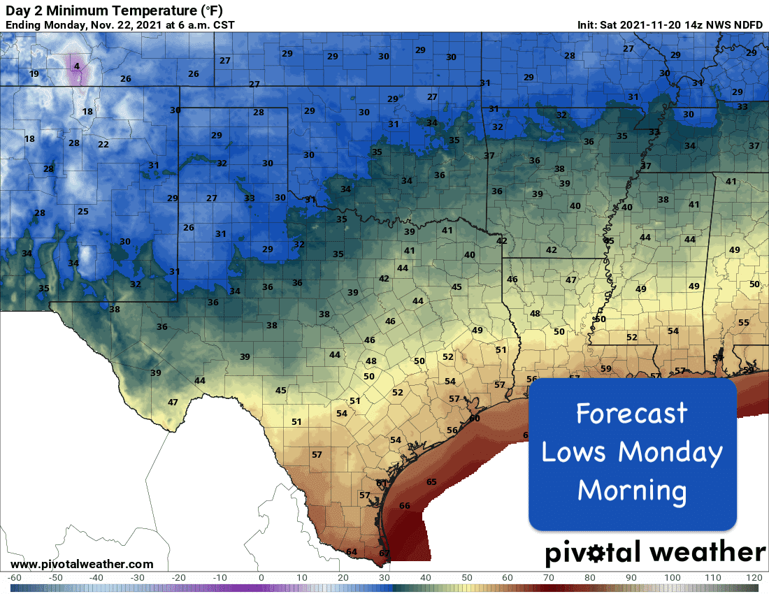
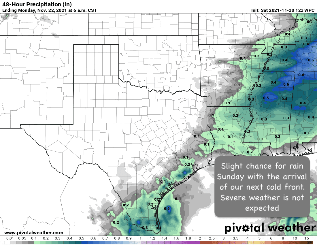
Overall pleasant and mostly rain-free weather is expected this weekend across the state. Temperatures will be back above normal today across western north Texas, the panhandle region and west Texas before the next cold front arrives overnight. Our next front will not be especially strong or cold, but will reinforce cooler and drier air for the state to kick off the holiday week ahead. For central, south central, north, northeast and southeast Texas, temperatures today will be average to just below average but still very pleasant for being out and about. Our next chance for scattered rain showers will arrive with Sunday’s cold front mainly across southeast texas beginning Sunday afternoon, coastal regions by Sunday afternoon and evening, and into deep south Texas during the late evening and overnight hours into early Monday. Timing for scattered rain showers could alter a bit based on the speed of the cold front as it breezes through the state tomorrow, but impacts overall are expected to be very low for anyone with outdoor plans Sunday afternoon. For the northern and western portions of the state, the front will have a dry arrival with no rain expected.

A look ahead – The long range forecast models are starting to come into alignment with expectations for later in the week ahead for Thanksgiving day and beyond. The forecast for next Thursday and Friday are beginning to shape up as potentially rainy for mainly parts of east and southeast Texas. Still too soon to talk about exact rainfall amounts and timing of any rain or storms, but definitely keep that in mind as you plan your travel this week. We will be keeping an eye on the forecast and will provide updates as the forecast becomes more clear.


0 Comments