
The next three days will be relatively calm and warm for mid-October in Texas. Those attending various outdoor events on Saturday will want to plan on temperatures in the 80s and 90s. Heck, one should probably plan on packing the sunscreen too. Anyway, Friday and Saturday should be good in the weather department.
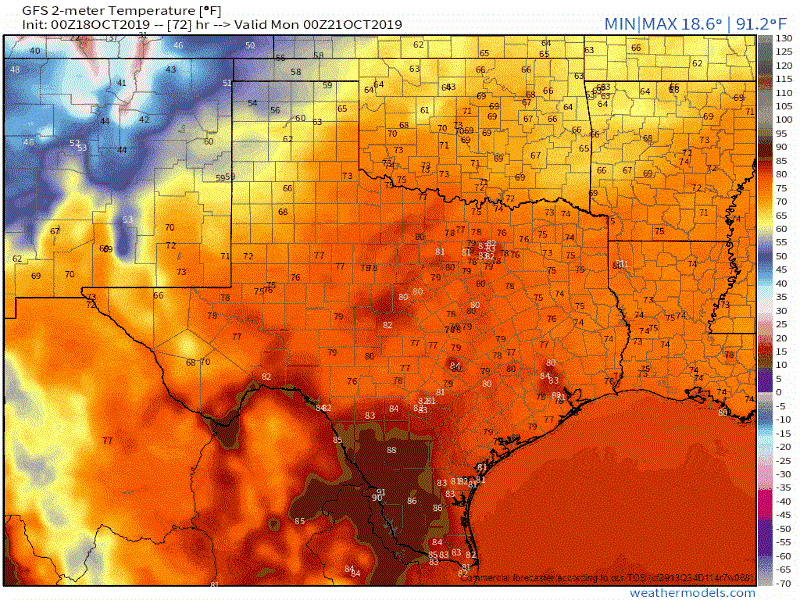
The overnight run of the Global Forecast System (GFS) weather model. This animation shows the model’s surface temperature depiction for Sunday into Monday. The exact timing of the cool front will probably vary a bit compared to this model simulation.
Most of the day Sunday will be mostly dry too, although it’ll be a windy and mostly cloudy day as moisture values increase ahead of an upcoming cool front. That cool front will bring a variety of weather to Texas beginning Sunday night and continuing into Monday.
Strong to marginally severe thunderstorms possible Sunday Night

The Storm Prediction Center has maintained a risk of severe weather beginning Sunday evening and continuing into Monday morning for Texoma, North Texas, and Northeast Texas. We note that the risk level is down compared to the last two outlooks. That change is mainly due to uncertainties in regards to thunderstorm timing, coverage (number of stronger storms), and storm-mode (squall line versus a discrete mode). Being three days out means there are still plenty of uncertainties.
Regardless, the key message for severe thunderstorm chances Sunday night currently seems to be that some strong to marginally severe storms are possible, but we’re not expecting a widespread/higher-end event based on the current data. Could that change? Sure, and of course it only takes one nasty storm coming down your block to make it a bad event.
The picture will become more clear as we get closer to Sunday night and are able to lock down the placement and timing of parameters. This certainly does seem to be a Sunday night/Monday morning event versus a daytime Sunday event though.
Thunderstorms become likely Sunday night and Monday across the southeastern half of Texas
A mostly dry frontal passage is expected for the northwestern half of Texas on Sunday. As the front moves into a more moisture-rich air mass and upper-level lift increases, we should see thunderstorms erupt along the cool front.
Weather model data has remained fairly consistent in fairly high rain/storm coverage for the southeastern half of Texas along the cool front Sunday night and into Monday. Rain chances will diminish as drier air filters in behind the cool front.
More bark than bite with our next cool front’s airmass

A look at the high temperature forecast for the weekend and first half of next week.
Unlike our first big cold snap a few weeks back this upcoming front won’t have any ‘cold’ airmass accompanying it. Temperatures will get knocked back down to mid-October averages, but no abnormally cold temperatures this go around.
A much drier airmass will accompany the front though along with gusty northwest winds. Those two factors in conjunction with receptive surface fuels will result in an increased risk of wildfires across the northwestern/western third of Texas Sunday and Sunday Night.


0 Comments