
A severe thunderstorm watch is now in effect until 11 PM for South-Central Texas, the Edwards Plateau, into South Texas. Cuero, Pleasanton, San Antonio, San Marcos, Kerrville, Uvalde, Del Rio, Eagle Pass, Laredo, and Zapata are a few towns included. The strongest storms may be capable of producing localized wind gusts over 70 MPH and very large hail up to the size of tennis balls. An isolated tornado cannot be ruled out. Most storms today will be slow moving and capable of producing flooding rainfall.
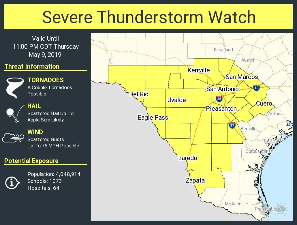
Click image for a full-screen version.
A few stronger storms are already underway at the time of this writing. One such storm has produced quarter to half-dollar size hail between Kerrville and Center Point. Additional storms are developing west of the San Antonio metro. We also note severe storms underway west of the International Border – west of Eagle Pass to Laredo. Those storms are an indication that we could see additional storms fire up farther east into the Edwards Plateau and South Texas in the coming hours.
As we make our way toward dinner-time scattered thunderstorms are expected to initiate along/near a slow-moving cool front across Southeast Texas, the Coastal Plains, west into South Texas. Some of those storms will probably be strong with a chance of hail and high wind. However, our primary concern will quickly transition to flooding rainfall as storms will be slow moving.
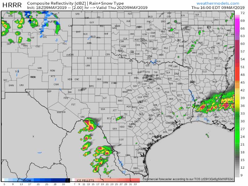
Simulated weather model radar from 3 PM this afternoon hourly through 7 AM Friday. Keep in mind this should only be used as a general guide for potential timing, not a foregone conclusion. Click on the image for a full-screen version.
Training will also be a concern, as in storms may back build and move over the same locations. On radar, it would look like the storm was simply sitting still. That process results in very high rainfall amounts over a short period of time for that localized area. Flash flooding would rapidly ensue in that situation. This is something we’ll be closely watching for across Southeast Texas and the Coastal Plains this evening. Yes, that does include all of the Houston metro. Honestly, I’d bet on there being new flooding after 8-9PM in that area. That flooding could include multiple roadways closed along with quick rises on creeks, streams, and bayous.
We’ll be watching trends closely and will post more frequent updates here on the blog along with our social media accounts throughout the day and night.


0 Comments