
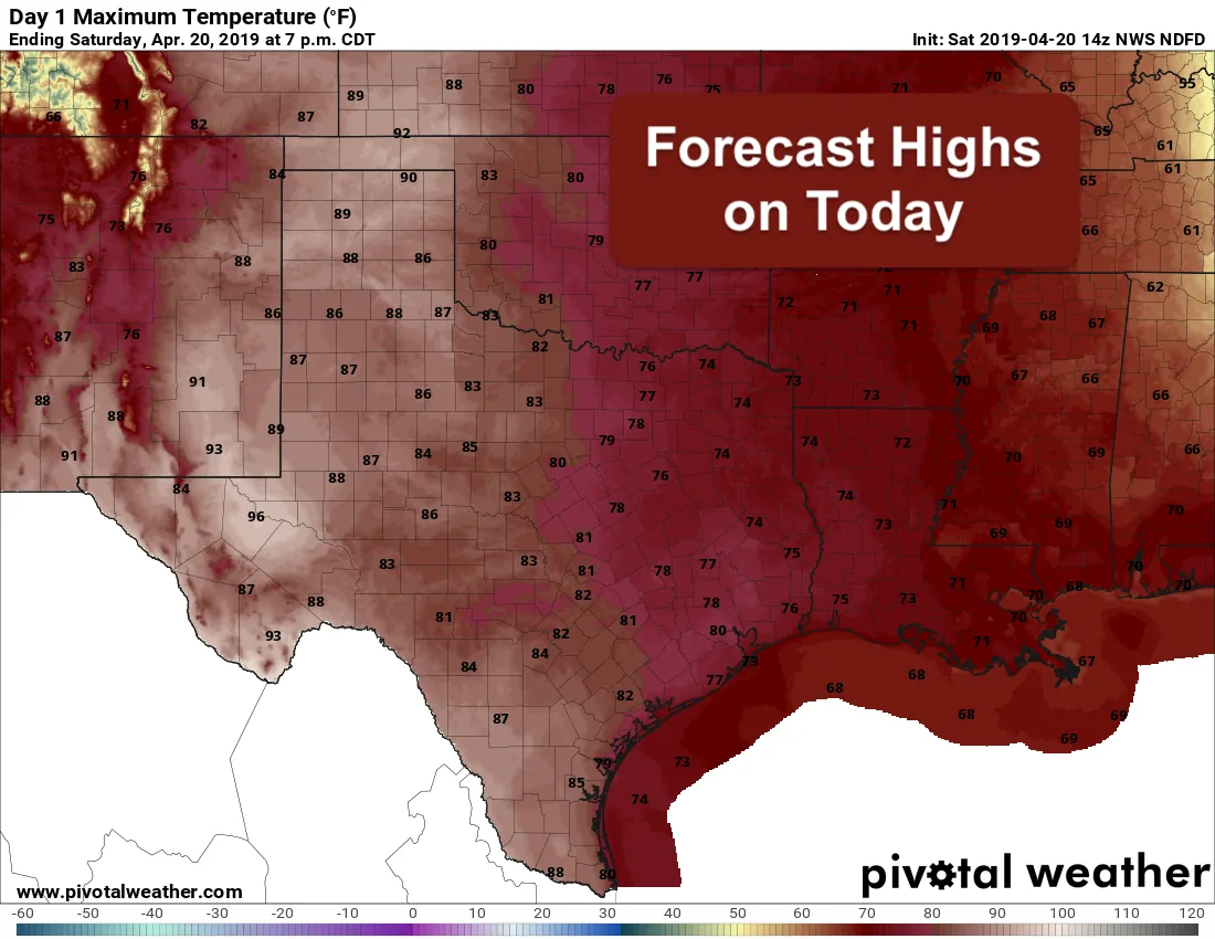
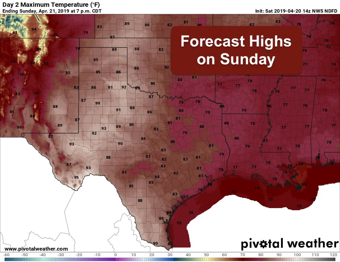
The overall forecast this weekend looks great for everyone! Mild temps, mostly clear skies and no rain or storms in the forecast for today and tomorrow makes for perfect weather for getting out and about. Highs today and on Sunday will be pushing the 80 degree mark along and east of the I-35 corridor, with temps climbing into the mid to upper 80s for the western half of the state where there’s less moisture and humidity to keep a lid on rising temps. Other than occasional high clouds moving west to east across the state, we should see mostly clear skies. It sure feels nice to have a break from rain and storms on the weekend, so be sure to get out and enjoy it!
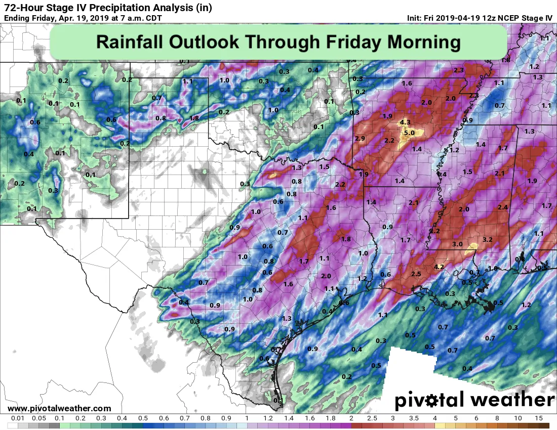
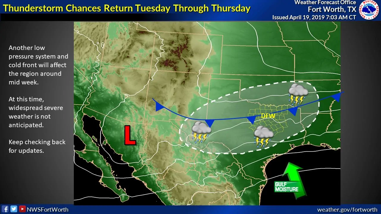
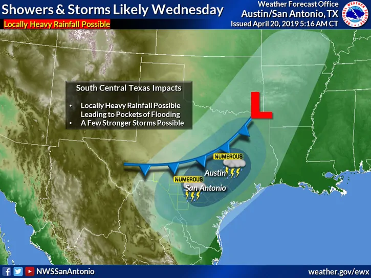
Widespread rainfall returns to the forecast for mid-week beginning as early as late Tuesday and continuing through Wednesday. At this time, the threat of severe weather looks low, but we will be monitoring for that as this next upper level system gets closer. We could see some locations reach marginally severe limits, but the overall characteristics of this next system are not all that conducive to severe weather. Localized flooding looks to be the main threat, especially across parts of north and central Texas where the soils remain moist from recent rainfall. A weak cold front will also arrive impacting mainly the northern half of the state on Tuesday with temps dropping back down into the 50s and low 60s, but it looks to wash out before making much southward progress. Again, widespread rainfall looks like the main threat with some areas picking up a good 2-3 additional inches of precip before the system moves out of our area by early Thursday.


0 Comments