
The next two days are going to feature an early preview of summer across Texas. While a few record high temperatures may be set, this isn’t a ‘WOWZA ITS CRAZY HOT’ kind of event. Yes, we’re going to likely see some folks make it up above the century mark. Yes, some folks who will be in the 90s tomorrow could have snow on the ground by Saturday. Welcome to Texas in April! If we haven’t hit Easter then winter may just have one more surprise in store. Anyway, we’re going to have to deal with a high-impact weather event on Wednesday. We’ll talk more about the threat of snow on Saturday once we get past Wednesday.
Temperatures tomorrow and on Wednesday will be above-average for early April with lots of 90s and even a few folks making it above 100 degrees. The highest probability of triple-digit temperatures will be in the Edwards Plateau – including Del Rio, Eagle Pass, and Laredo. Temperatures across the remainder of Texas will end up in the upper 80s to upper 90s. A few folks may get close to hitting record highs, but we’ve certainly had early spring summer previews in previous years. Tuesday will be hot, but Wednesday will be hot with a big windmaker.
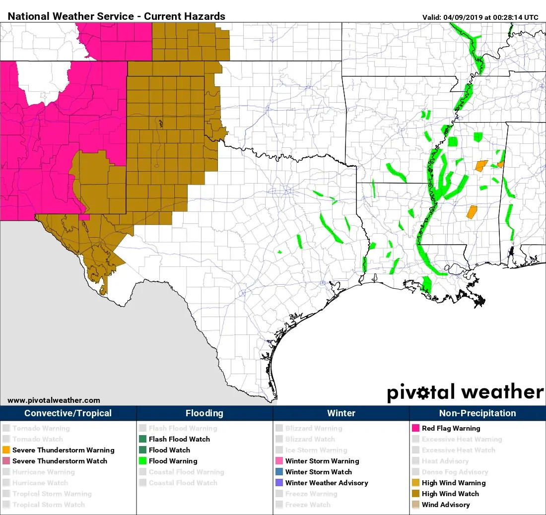
High wind watches are already in place for Wednesday across the Borderland, Trans-Pecos, Guadalupe Mountains, Permian Basin, West Texas, far Northwest Texas, and all of the Texas Panhandle. An area of very strong low pressure will quickly intensify and move east across Kansas on Wednesday. This system is similar to the one that produced 70-85 MPH winds last month. However, the low’s strength this time around will not be ‘record-breaking’, but still quite impressive. Wind gusts of 60 to 75 MPH out of the west are expected on Wednesday in the aforementioned regions. I’m afraid those will be strong enough to cause more wind damage, power outages, etc.
The combination of very warm temperatures, winds gusting up to 70 MPH, and relative humidity values below 10-15% could set the stage for a dangerous wildfire outbreak on Wednesday. If we still had the drought conditions that were in place last spring I’d easily be calling Wednesday a hands-down catastrophic wildfire threat. However, we’re in better shape in the precipitation department. Some green-up is underway which *may* partially offset some of the otherwise extreme risk.
Even though some spring fuels have greened up, the meteorological ingredients on Wednesday are almost a classic repeat of some of our most impactful wildfire outbreaks of the last two decades. Any fires that get going could quickly become uncontrollable and spread at explosively fast rates. This is especially true for areas that haven’t seen much spring green-up. This is a potentially dangerous situation and could result in significant impacts.
A cold front will move south into the Texas Panhandle and West Texas Wednesday night. However, humidity values are not expected to recover much behind the front. Dangerous fire weather conditions will continue well into Wednesday night and into the morning hours on Thursday. That cold front will simply result in a wind shift from the west/southwest to the north – complicating wildfire containment efforts and proving potentially hazardous to firefighters.
That cold front will move south into Thursday – bringing an end to ‘summer’ temperatures for the northern two-thirds of Texas. A strong upper-level storm system will arrive on Friday and Saturday with widespread chances of showers and thunderstorms. Some of that precipitation may change-over to snow in the Texas Panhandle and West Texas Saturday morning. We’ll deal with all that mess once we get past Wednesday, but there are indications that this may be a decent late-season winter threat.


0 Comments