
A line of strong to severe thunderstorms may develop after midnight across eastern North Texas and East Texas. Hail, localized damaging winds, and a brief tornado cannot be ruled out. This potential didn’t begin to show up in weather model data until early this evening and is quickly becoming more likely based on observational data. A very strong low pressure located in Kansas is pulling an unstable airmass rapidly inland from the Gulf of Mexico. This airmass is setting up ahead of an outflow boundary/Pacific front located in eastern North Texas south to the Brazos Valley. Unfourtinietly, weather models underestimated how quickly that unstable airmass would return inland.
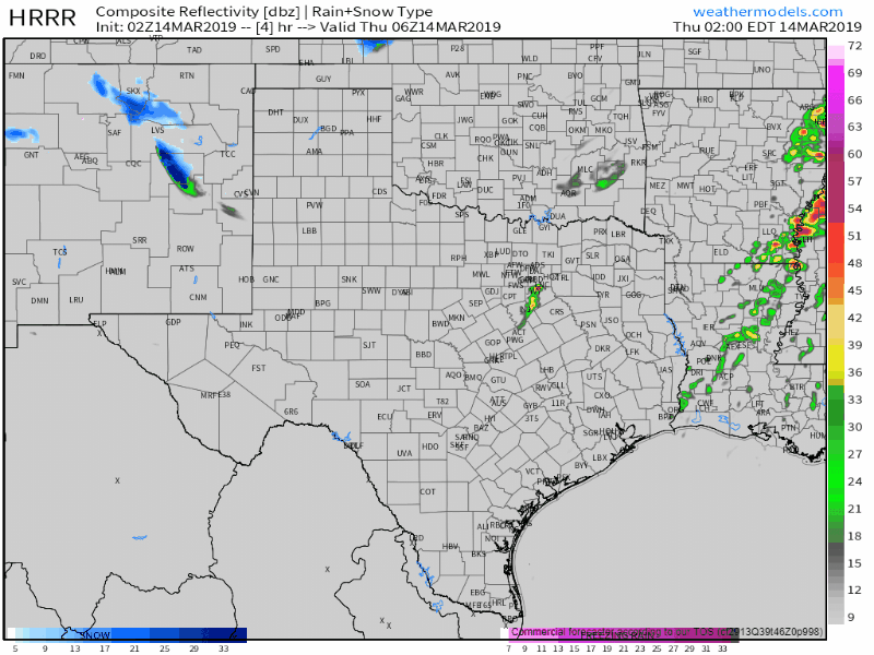
HRRR: SImulated weather radar from 1 AM through the morning hours. This is only a weather model and should be taken as such.
It now appears probable that a line of strong to severe thunderstorms will develop after midnight from just east of the D/FW Metroplex. The highest chance (relatively) of severe storms overnight will be in East Texas. Storms that develop may be capable of producing large hail, localized wind gusts of 60 to 70 MPH, and we cannot rule out a brief tornado. They’ll grow upscale into a thin line that moves east. They shouldn’t stick around in one spot for too long, but it looks like some folks are going to be getting an unexpected wake-up call.


0 Comments