
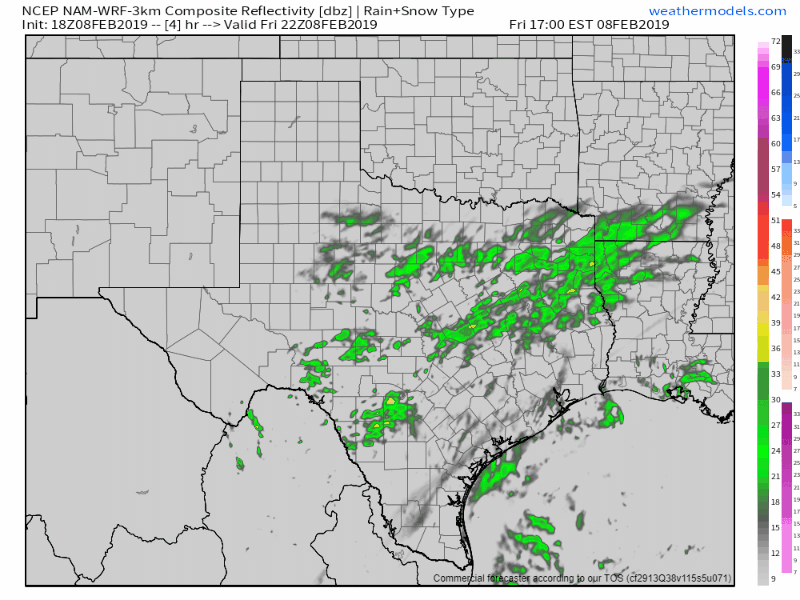
A winter weather advisory is in place for the evening commute across the eastern Hill Country, portions of Central Texas, and southern North Texas. This does not include San Antonio, New Braunfels, College Station, or the D/FW Metroplex. It does include Kerrville, Austin, Waco, Corsicana, and Canton. Most folks are not going to see accumulating winter precipitation. However, a few heavier bands of sleet have caused brief accumulations on elevated roadways and lesser-used roads in some locations this afternoon.
Simulated weather model radar through tonight into Saturday morning.
Given the fact surface temperatures are hovering near freezing, any heavier bursts of sleet could result in some slick bridges, overpasses, and lesser-used roadways for the evening drive home. Later this evening most precipitation is expected to shift to the north and east. Some sleet and/or snow may mix in with rain. Widespread accumulations are not expected, but any localized bursts of heavier sleet could result in brief accumulations. Soil temperatures are above freezing given the recent warm weather, so any accumulations are not expected to ‘stick around’ for very long. We may see a brief winter mix in East Texas late tonight into Saturday morning with similar accumulation expectations.
Please use caution when approaching bridges or overpasses this evening. Give road crews that are out treating roads plenty of space.


0 Comments