
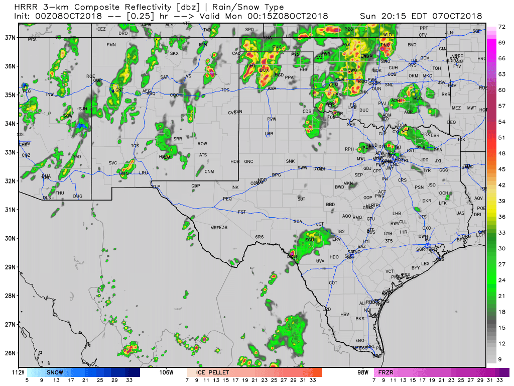
Simulated weather model radar through the overnight and into the morning hours Monday.
We’re in a relative lull this evening across western Texas, but thunderstorms are ongoing across the northern Texas Panhandle and from Uvalde north toward Menard. A line of thunderstorms will move into West Texas and the Texas Panhandle later this evening from New Mexico. Additional thunderstorms are expected to develop across the eastern Texas Panhandle, West-Central Texas, and Northwest Texas early Monday morning. In addition, the short-term model guidance suggests thunderstorms will continue through the night across the Hill Country (west of San Antonio).
Flash flooding is the primary concern, so please be mindful of that if driving in areas that are seeing heavy rain. A brief tornado or localized damaging wind gust can’t be ruled out with the activity entering West Texas or with the storms west of San Antonio overnight. We’ll be analyzing overnight weather model data and have an update out bright and early tomorrow regarding upcoming severe weather and flash flooding risks for Monday and Tuesday.
You can track ongoing storms and warnings using our free HD interactive weather radar here.


0 Comments