
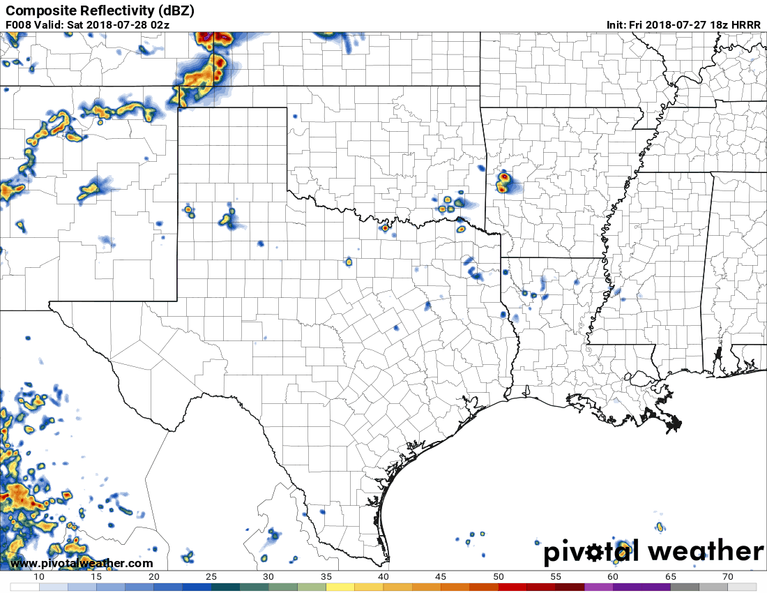
Thunderstorms will impact portions of the Oklahoma and Texas Panhandles tonight as a line of severe storms moves south out of Kansas. This activity will not likely reach Texoma or North Texas, but the weakened remains of the storms may reach Northwest Texas during the pre-dawn hours Saturday.
Tonight’s Severe Weather Outlook
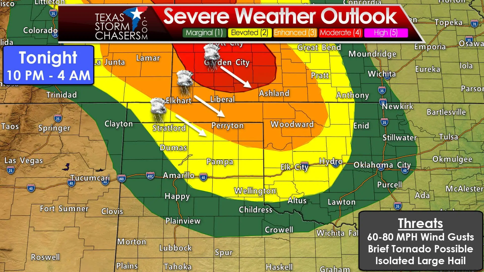
An active severe weather day is anticipated across the High Plains. The Storm Prediction Center has a level four risk of severe weather across eastern Colorado, southwestern Nebraska, into western Kansas. We already have the first storms of the day firing up in Wyoming and Colorado. Those storms will congeal into a squall line or cluster of thunderstorms by the early evening hours. Once consolidated those storms will race off to the south/southeast into Kansas and eventually into the Oklahoma/Texas Panhandles. By the time the storms reach the Panhandles the primary severe weather threat should be damaging straight-line winds. Secondary hazards will be a low-end risk for a brief tornado along with the potential of hail.
A timeline on Tonight’s Storms in the Texas and Oklahoma Panhandles
Simulated weather model output has the line of storms moving south into the Oklahoma Panhandle around 9 PM. Storms will probably be severe with damaging straight-line winds and perhaps large hail. It won’t take long for the squall line to move south/southeast into the northern and northeastern Texas Panhandle. That’s where we have a level three risk of severe weather tonight – or roughly a 1 in 3 chance of severe weather occurring within 25 miles of a given point. Strong winds are probable on the leading edge of the storms.
The highest chance for storms will be across the northeastern Texas Panhandle. The chance for storms decreases the farther west you go across the Panhandles. If the squall line is able to develop farther west than anticipated that would allow for higher rain chances for places like Dalhart and Amarillo. Storms will likely continue moving southeastward into Oklahoma after 2 AM. We note that this model is developing additional activity behind the squall line around 2 AM. Those storms – if they develop – may produce some hail and heavy rainfall. Rain is good so bring it on!


0 Comments