
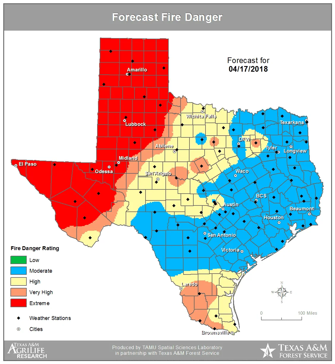
We’ve been warning you since last fall that we could have a bad fire season this winter/early spring. Tomorrow is the kind of day we’ve been fearing. Conditions will align to create extreme to catastrophic fire danger across the Texas Panhandle, West Texas, the Permian Basin, west through the Borderland. Western Oklahoma is also anticipating catastrophic fire danger.
Understand that historic fire weather conditions are expected tomorrow in the Texas Panhandle into Northwest Texas and western Oklahoma. Historical means we haven’t seen such volatile conditions in at least ten years.
Temperatures in the 90s, humidity values of 3 to 12 percent, winds gusting 35 to 65 MPH, and exceptional drought conditions.
Any ongoing wildfires that breach containment or any new ignitions have the potential to cause extreme impacts to first responders and the general public. Fires may spread at 6 to 7 MILES PER HOUR. Tomorrow is about as bad as it gets across West Texas, the Texas Panhandle, into Western Oklahoma. The stage is set for a catastrophic event, but there are a few tips to help prevent loss of life.
If you see a smoke plume or fire advancing your way – evacuate immediately! Wildfires will be moving extremely rapidly tomorrow with the potential of 20+ mile runs in a five hour period. Fire danger will remain severe to extreme well into the night and a dangerous wind shift will cause even more problems.
Be ready to evacuate quickly. Be aware winds will shift to the northwest tomorrow evening with potential for large shifts in any wildfire’s track and movement.


0 Comments