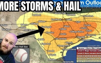
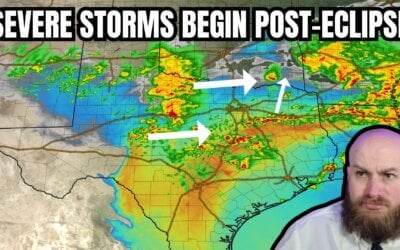
It’s looking more and more likely that our weather pattern will undergo a significant change by early next week which will introduce the threat of severe weather back into the forecast for several days next week. Not everyone in the state will be affected, but for those in the panhandle, western north Texas, north Texas and up into western OK…you folks will need to keep tabs on the forecast for Monday through Thursday of next week.
The Setup
A slow-moving upper level disturbance is expected to approach from the west by late Monday. Surface moisture across the region is expected to return rather robustly on Monday to the east of the dryline with dewpoints in the upper 50s to low 60s across portions of western north Texas by Monday afternoon, increasing into the mid to upper 60s by Tuesday and Wednesday. That’s certainly sufficient juice for healthy storm development. Temps will also be on the increase which will work to enhance instability across the region each afternoon as we reach peak daytime heating. For Monday afternoon, the dryline is expected to set up somewhere near the central or eastern sections of the Texas panhandle down into west central Texas. While a capping inversion may keep storms at bay for most of the early afternoon, we could see isolated to scattered development along the dryline across the panhandle and down into portions of western north Texas by late Monday afternoon and into the evening hours.
On Tuesday, as the upper level disturbance advances a bit further east, we’ll also see the dryline nudged east into the western portions of north Texas and up into parts of western Oklahoma. Again, scattered strong to severe storms will likely form along the dryline by mid to late afternoon…most likely across western Oklahoma first, but with a chance of zippering down the dryline into western north TX by late evening. Again, capping will be an issue that we’ll be monitoring over the next several days. If the cap is weaker that currently forecast, we could see isolated to scattered storms develop across western north Texas which could bring the threat of large hail and damaging winds. If the cap stays strong, we may not see much development, if any, across the region. By Wednesday, we’re anticipating upper level forcing to be a bit stronger across the southern plains and we’ll see an increase in storm coverage across west and central Oklahoma down into parts of western north Texas and north central Texas. Again, still too far out to talk much about specifics such as exact location or timing, but it’s something to keep tabs on as we head into next week.


0 Comments