
 A severe weather watch will likely be issued in the next one to one and a half hours across portions of North Texas. A warm front is located roughly along Interstate 20 from Abilene to Fort Worth – and just south of Interstate 30 from Dallas to Texarkana. Southerly winds are occurring south of the warm front with dewpoint temperatures rising into the middle and the upper 60s. Temperatures in the 70s combined with the moisture-rich environment have allowed the atmosphere to destabilize. Even with mostly cloudy skies, there have been patches of sunshine.
As a capping inversion weakens over the next two hours we expect thunderstorms to initiate southwest of the D/FW Metroplex. In a favorable environment for organized convection, these storms could quickly become severe. They’ll generally move in an east/northeasterly direction as a mean. Storm splits will cause some individual storms to move more northeasterly while others may move more to the east/southeast.

Large hail is going to be the primary and most common threat with the strongest storms today. Since the atmosphere has destabilized sufficiently the threat of damaging hail is present. The strongest supercells may produce damaging hail larger than the size of tennis balls. Not all storms will produce hail that large, but there is a decent chance someone is going to get a nasty hailer today.
Low-level wind shear isn’t impressive but is locally enhanced near the warm front. Any storms that become “right-turners” or move more east/southeast could also locally enhance the low-level shear in their immediate area. As such the threat for a couple of tornadoes does exist. It is not a high threat, but it only takes one coming down your street to make for a bad day. Localized damaging straight-line winds are also a secondary concern.
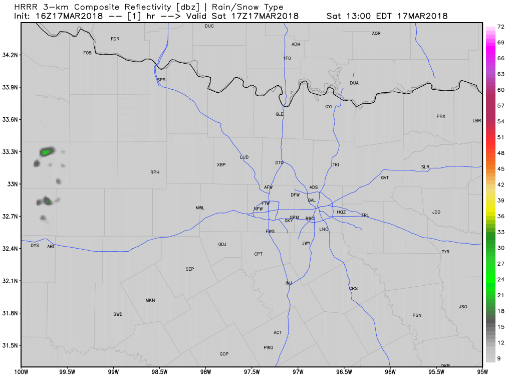
Simulated weather radar through this evening from the High-Resolution Rapid Refresh
Storms will remain isolated to widely scattered. This will not be a widespread outbreak nor will everyone get stormed on. Those that do get stormed on today could have some severe weather in the area. The highest threat does appear to be from Brownwood to Mineral Wells east to the D/FW Metroplex south toward Waco and east toward Tyler and Palestine.
Remember that storms will fire out west first and then move east with time today. We do have chasers out and they’ll be sharing their experiences on our social media platforms. I myself will not be chasing today but will be in the office posting occasional weather updates.


0 Comments