
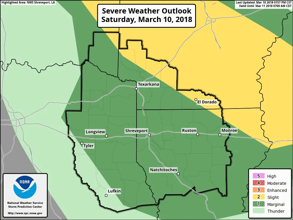
Scattered thunderstorms may impact Northeast and East Texas late tonight. A cool front currently in Oklahoma will sag south of the Red River tonight. The combination of rich moisture from the Gulf of Mexico along with upper-level shear could allow some of these storms to become organized. Thunderstorms ongoing this afternoon in eastern Oklahoma and northwest Arkansas have a history of producing large hail. Some storms have produced copious amounts of hail. Thanks to cold temperatures in the hail-growth zone we could see some hailers tonight.
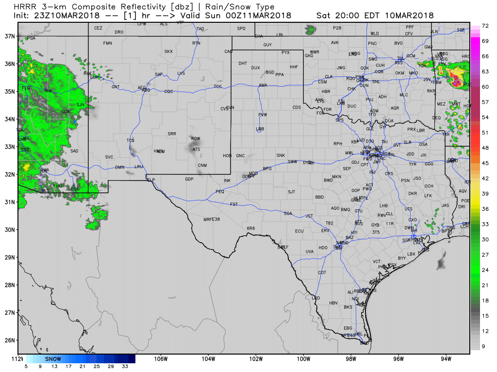
The high-resolution rapid refresh (HRRR) is holding off on thunderstorm development until nearly midnight. I’m not sure it’ll take that long, but we could have to wait until early Sunday morning for initiation. The highest chance of seeing a thunderstorm will be east of Sherman and Dallas. A couple storms may become strong to marginally severe with a threat of hail. Due to the time of night the threat for damaging wind gusts should be comparatively lower, but not zero. Tornadoes are not anticipated, but we’ve learned in the past to never say never.
Scattered storms tonight will move to the southeast after development. We may see a small thunderstorm complex dive south across East Texas during the pre-dawn hours Sunday. Some storms may produce hail – or copious amounts of small hail. Locally heavy rainfall is possible, but flooding should not become a serious concern. Scattered showers and storms may continue into far Southeast Texas by late morning Sunday.


0 Comments