
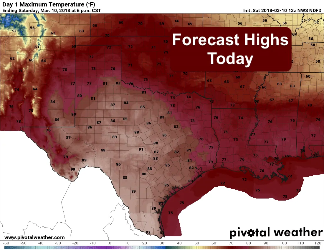
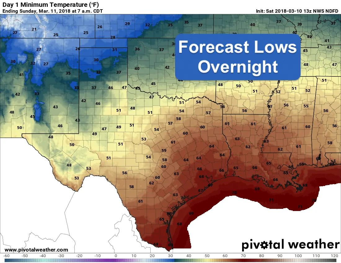
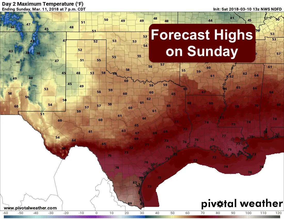
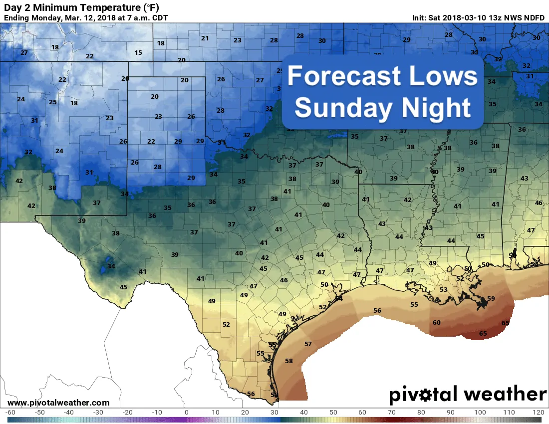
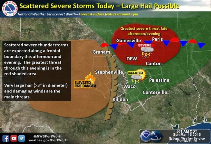
Temperatures today ahead of tomorrow’s cold front will be well above normal with a mix of 70s and low 80s expected across much of the state. A cold front will approach the northern panhandle later this evening and will move into northern Texas during the early morning hours on Sunday. By mid-day tomorrow, the front should reach central Texas and be closing in on the central coastline by early evening. Unfortunately, this front will not bring much in the way of beneficial rainfall. We’ll see slight chances overnight across parts of northeast and eastern Texas overnight which has been placed under a Marginal Risk (Level 1) for a couple of strong storms to develop tonight along the frontal boundary, and a slight chance for general showers across far western Texas in and around the Guadalupes mountains where we may see some snow at the higher levels by tomorrow. Other than that, we will remain dry this week ahead with northwest flow in the upper levels and a gradual warming trend by the end of the work week as an upper ridge, currently over the desert southwest, crosses the state.
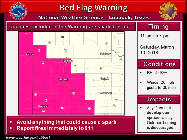
Ongoing drought and temperatures well above normal today across the western half of the state will lead to elevated wildfire concerns. By later this afternoon, temps will soar into the upper 70s to low 80s and we’ll see humidity values drop into the low teens to single digits. West winds will be gusty in the 15-20mph range with gusts in the 30s and 40s. Red Flag Warnings will be in place across much of the Trans Pecos, Big Bend region, Permian Basin region and western Rolling Plains region today through 7pm this evening. Any fire that gets started today in these conditions will spread rapidly, so please continue to avoid any type of outdoor burning and be extra cautious with any tools or activities that could throw sparks.
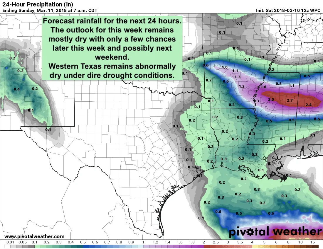
As mentioned above, rain chances for this next week look slim, and the long-range models are not really hinting at any big pattern change over the next 10-15 days which would bring about any hope for beneficial rainfall across the panhandle or western Texas. An upper level ridge will cross the state by the middle of next week with an upper low expected to approach from the desert southwest by Thursday or Friday of next week. This may bring chances for rainfall across south and central Texas by next Friday into Saturday just in time for St. Patrick’s Day, but at this point, that is just speculation.


0 Comments