
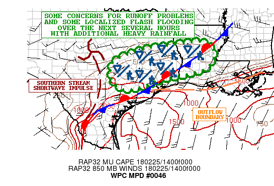
Today’s forecast involves the continued threat of a few strong to severe storms across portions of south central and southeast Texas. The Storm Prediction Center has outlined the region under a Marginal Risk (Level 1) for severe weather today with the main threats being isolated events of quarter size hail and damaging winds. Periods of heavy rainfall and flash flooding will also be a pain in the patootey today. Rainfall rates between 1/2 to 1 inch per hour have been estimated under some of the stronger cells this morning, and as this area of rain continues to slowly drift east today, we’ll see the threat of flash flooding increase due to runoff and already saturated soil across the southeast Texas region. The threat for tornadoes is lower today than yesterday, but still non-zero…so have a way to receive severe weather warnings if you’re out and about today. The threat for severe weather takes a brief reprieve on Monday, then returns again on Tuesday and Wednesday for portions of north central and northeast Texas with the arrival of another upper level disturbance and Pacific cold front. We’ll have more details on that in later blog updates.
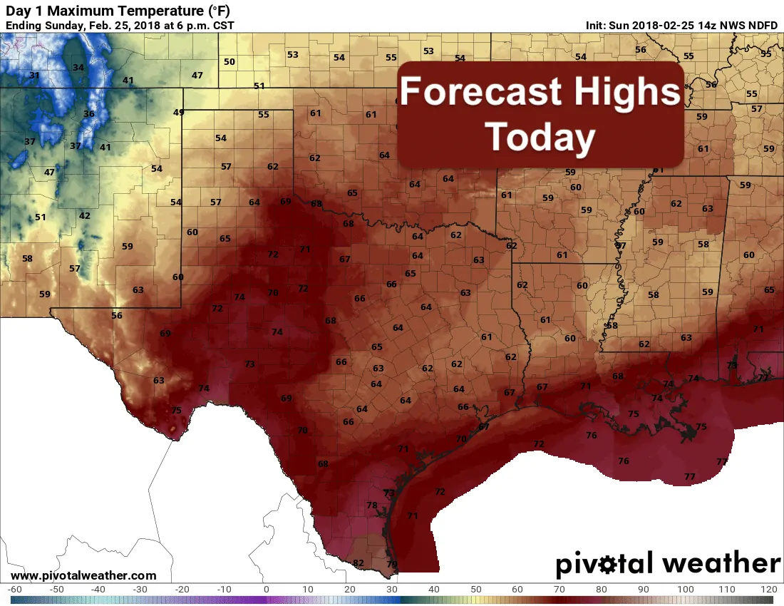
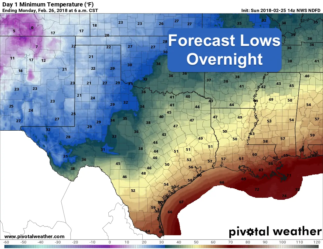
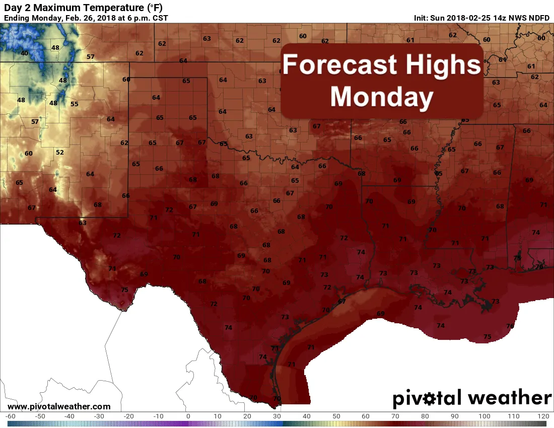
Temps today are expected to be mild and close to seasonal for this time of the year even behind the cold front which moved through the northern half of the state yesterday. The warmest spots today will be across western Texas, southwest Texas and the Rio Grande Valley region where highs in the mid 70s to low 80s can be expected. Further east, we’ll see much cooler temps due to extensive cloud cover and rainfall. The temperature outlook for the week ahead is expected to be close to seasonal, even with the arrival of a weak Pacific cool front mid-week.


0 Comments