
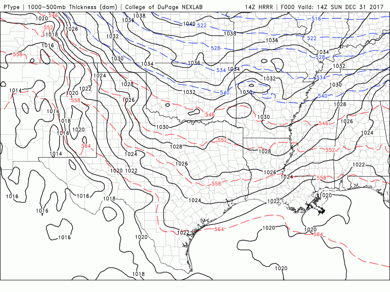
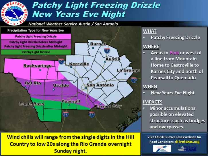
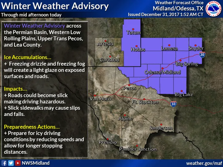
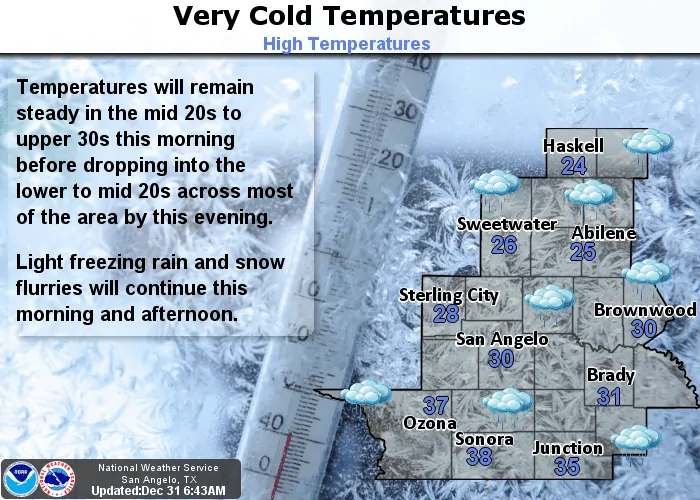
Light freezing rain and drizzle continue to impact parts of north Texas, western north Texas, the Big Country, Permian Basin region and Trans Pecos region this morning. For the immediate DFW metroplex area…reports of freezing drizzle and light snow have increased this morning, but a majority of the reports of ice on roadways have been north and west of the immediate metroplex. Not all areas will be impacted by icy roads this morning…but caution is advised when if you head out today with bridges and overpasses remaining the primary culprits for any slick spots within the metro area. For the latest on roadway conditions, please visit www.drivetexas.org or check your local media outlets before heading out today. Winter Weather Advisories remain in effect until Noon today across much of northern Texas. These Advisories may have to be extended for areas south of the DFW metroplex, but that will be determined later today based on precipitation and temperature trends at that time.
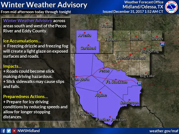
For the remainder of the day, light drizzle is expected to continue to work its way south into central Texas, but as it encounters above freezing air mainly south and southeast of the I-20 corridor across central and eastern Texas, it should remain all liquid. For far western Texas and the Big Bend Region, the Winter Weather Advisories will remain in effect through early tomorrow morning. Wind Chill Warnings are also in effect for the Texas panhandle Region and parts of far northwest Texas until Noon tomorrow with chill readings expected to range between -5 to -14 degrees. A great day to just stay indoors for sure!
Simulated Radar Loop Through 2am January 1st.


0 Comments