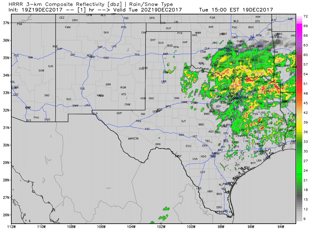
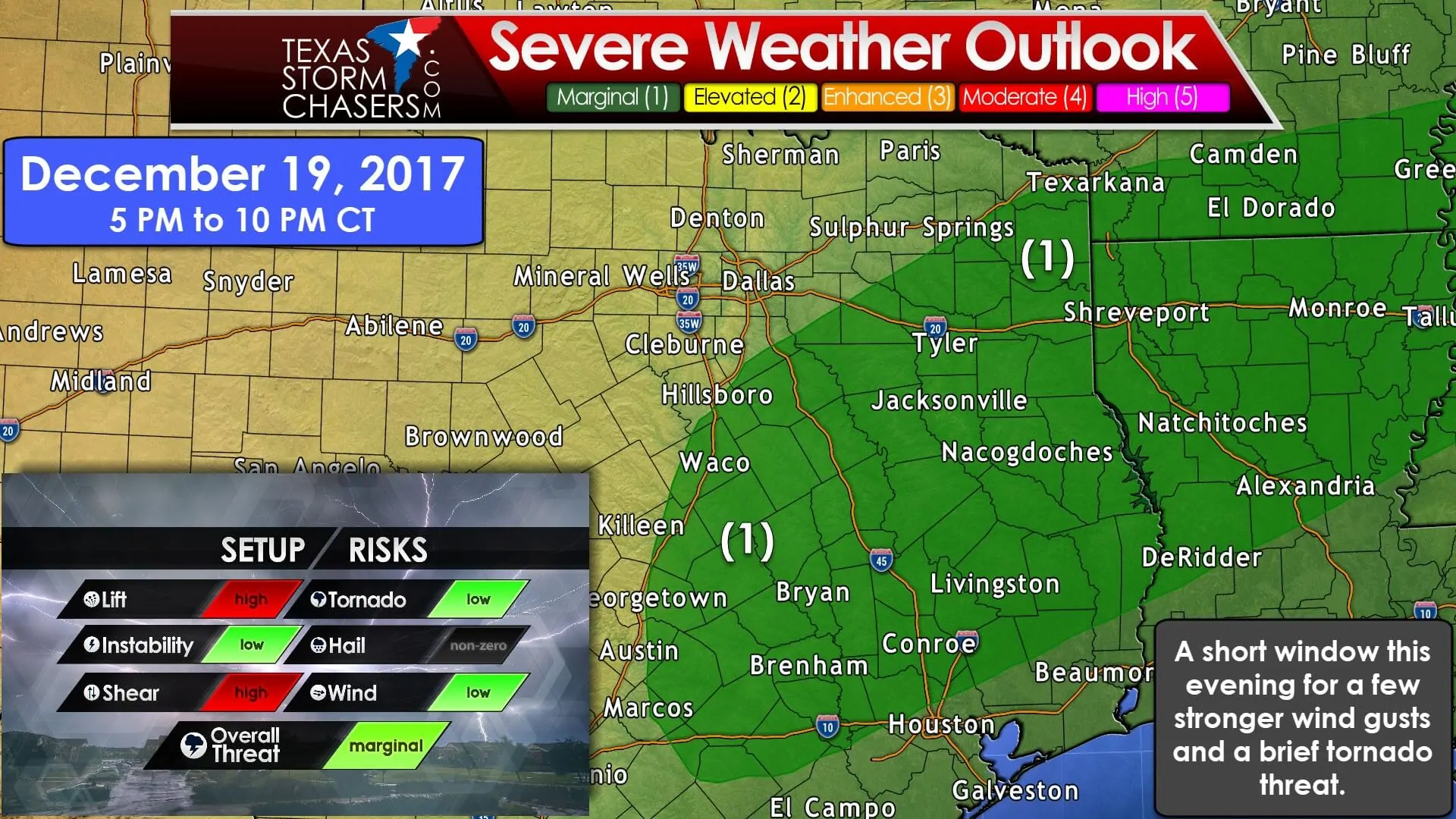
Widespread rain across the eastern half of Texas has been a welcome sight today after a very dry fall season. We continue to keep tabs on a low-end risk for severe storms later this afternoon and evening across East Texas extending back south/southwest into the Brazos Valley and Southeast Texas. I did publish a detailed blog post earlier today discussing weather through the Christmas travel period, so click here if you’re looking for information on that timeframe.
We continue with a level one severe thunderstorm risk across the Brazos Valley into East Texas. The latest data suggests the primary time-frame for any potential mischief should be between about 5 PM CT and 10 PM CT. This is not expected to be a widespread or significant threat. As shown in our setup graphic we have plenty of wind shear and lift today, but instability values are low. This is what is referred to as a ‘high shear – low instability’ setup. All the rain and clouds, along with a tropical/summer-like moisture profile means the atmosphere isn’t all that unstable today.

Simulated weather model radar through Wednesday morning. Don’t expect the radar to look exactly like this tonight.
What we’ll be keeping an eye on for this evening will be the potential for a few stronger thunderstorms in the risk area. It remains unclear if enough instability will be in place to support these stronger storms. Given the strong wind shear in place, it wouldn’t take much downward momentum in the stronger storms to get 50 to 60 MPH wind gusts to the surface. If we were to have any stronger storms this evening the threat of localized damaging winds would be the most likely concern. A secondary threat is a potential for brief tornadoes. Low-level wind shear is strong, but the low-levels of the atmosphere probably will not become unstable enough to support more than a very low chance of a brief tornado. If we were to see a tornado threat materialize I’d expect it to be south of Interstate 20 and near/east of Interstate 45 in East Texas this evening. Widespread cloud cover plus lackluster lapse rates (the decreasing of temperature with height) argue against a more substantial severe weather threat. As the late Al Moller from NWS Fort Worth always said – “When it comes to thunderstorms expect the unexpected.” That logic alone dictates we keep an eye on the sky. Don’t be surprised if we see a few severe thunderstorm or even tornado warnings this evening.


0 Comments