
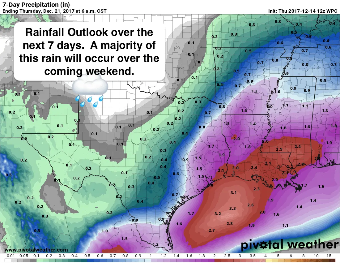
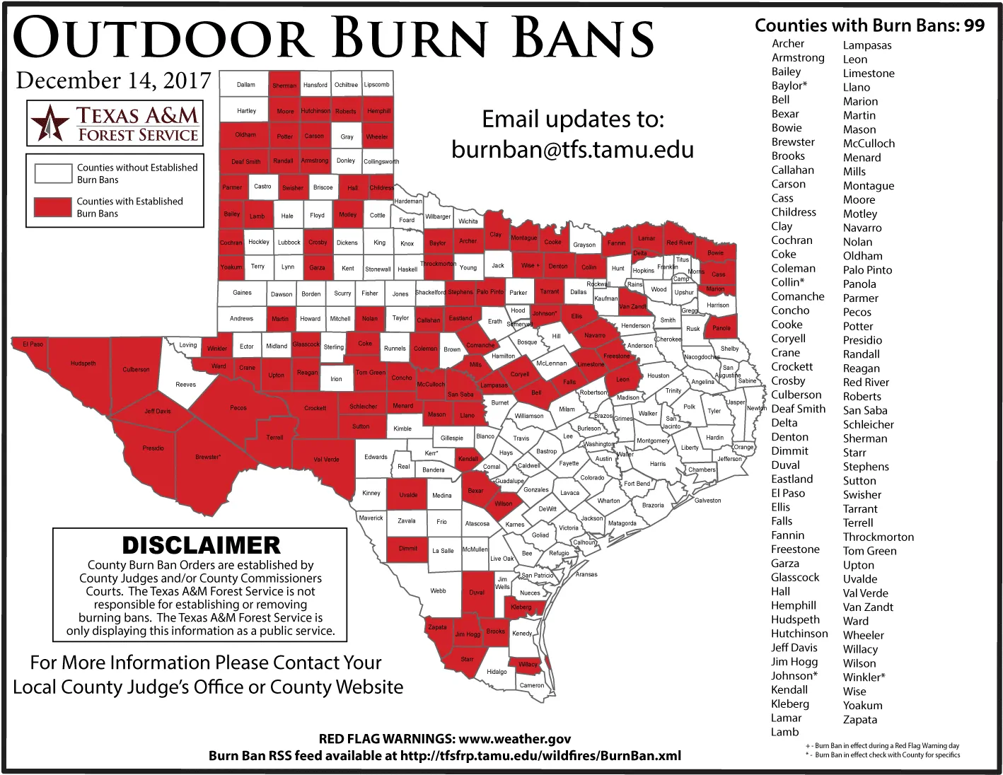
Just a quick blog update for your lunch today! Though you’d hardly know it, a cold front is currently moving into central Texas and will clear the coast overnight tonight. Temps will be a little cooler, but nothing worth writing home about. Below we have look at the forecast highs for later this afternoon and our overnight lows. Today will be enjoyable and pretty much what most folks expect (or maybe I should say “prefer’!) for mid-December in Texas. We are dry though…very dry…and the threat for grassfires will continue to be an issue until we see a pattern shift that brings rain back into the forecast. Right now it looks like our next best chance for rain will arrive Saturday and into Sunday. Most of this rain is currently forecast to impact coastal areas, central, southeast, north central, east and northeast Texas. Unfortunately, a large portion of western Texas is not expecting to see any impacts from our weekend rain chances. 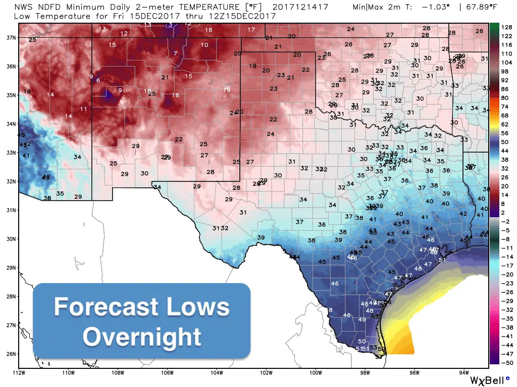
Next week continues to look mild with little chance for rain; however, we are continuing to monitor the long-range forecast models which have been showing the potential for change in our overall weather pattern that may bring some much cooler air into the state by Christmas weekend. It may also bring some precipitation…but how much, where and what type of precip is not something that can be determined this far out….regardless of what other forecast graphics you’ve seen for Christmas weekend floating around on the interwebs. Again, nothing to get too hyped up about just yet, but with so many trying to finalize holiday travel plans, we wanted to at least mention that there appears to be a change on the horizon, so make sure you check back with us next week as the forecast hopefully becomes more clear.


0 Comments