
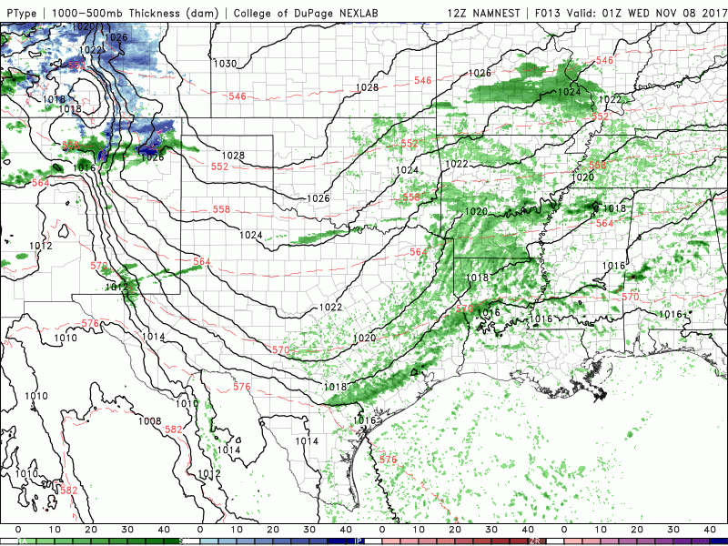
Precipitation chances increase beginning later today as an upper level disturbances passes overhead. Later this afternoon and into the evening hours, rain mixed with snow will begin to impact the Texas panhandle region. It’s likely this will transition over to all snow by the wee morning hours on Wednesday with light accumulations overnight up to about an inch. Depending on whether or not we get bands of snow out of this activity, we could see a few higher snowfall totals mixed in, so the forecast for tonight will continue to be monitored closely. Travel impacts are expected to be minimal since the ground is still a bit warm, but residents in this area will still need to be cautious on area roadways tomorrow morning and be on the lookout for icy patches. Rain chances will expand from west to east across the state during the day on Wednesday with the greatest rainfall expected across the Permian Basin, west central and north central Texas regions during the afternoon and evening hours. We won’t see any freezing precip in these areas, but wet roadways always seem to cause drivers to lose their minds, so slow down and allow extra time to reach your destination. The animated graphic below spans from about 7pm this evening through Midnight on Wednesday. All precip will be clearing out by early Thursday and we’ll remain dry with pleasant fall conditions through Saturday with our next chance for rain showing up by Sunday across the eastern half of the state as another cold front arrives.


0 Comments