
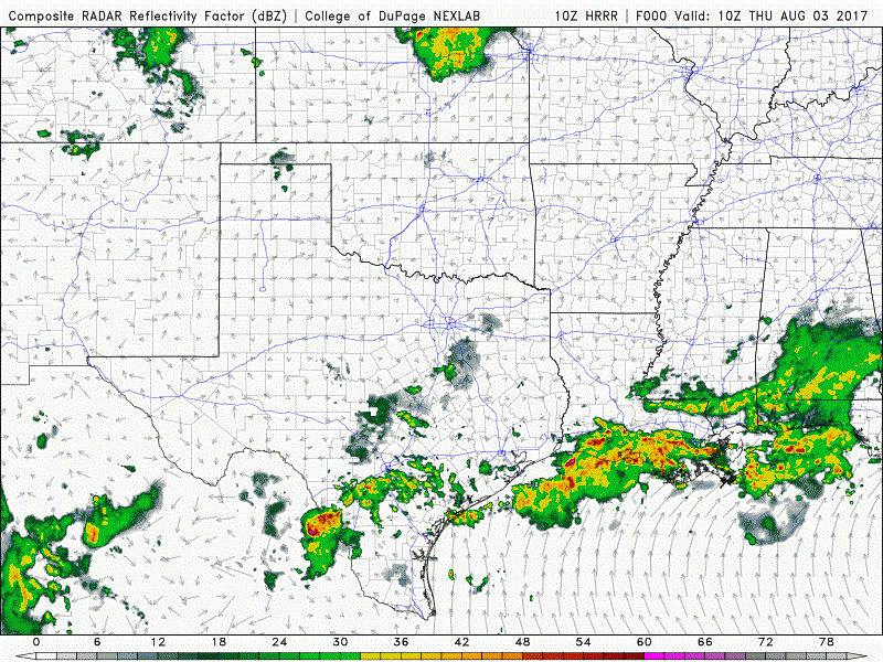
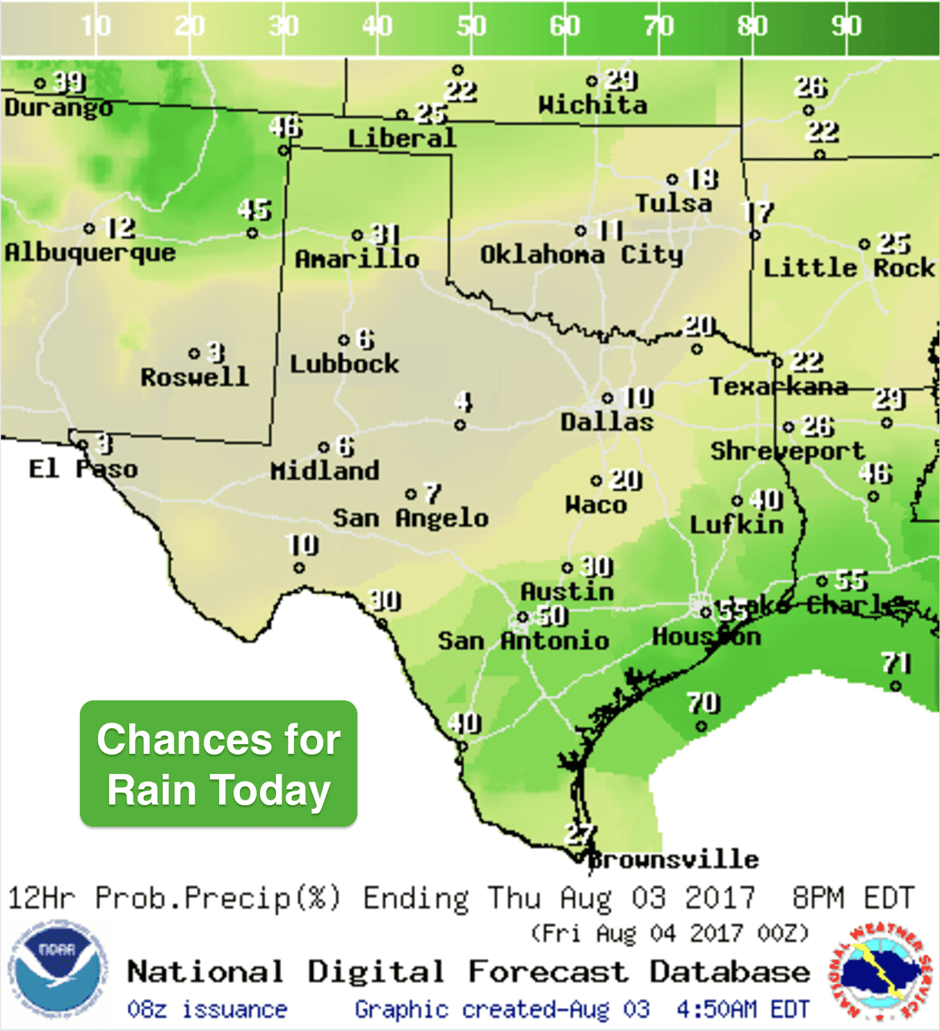
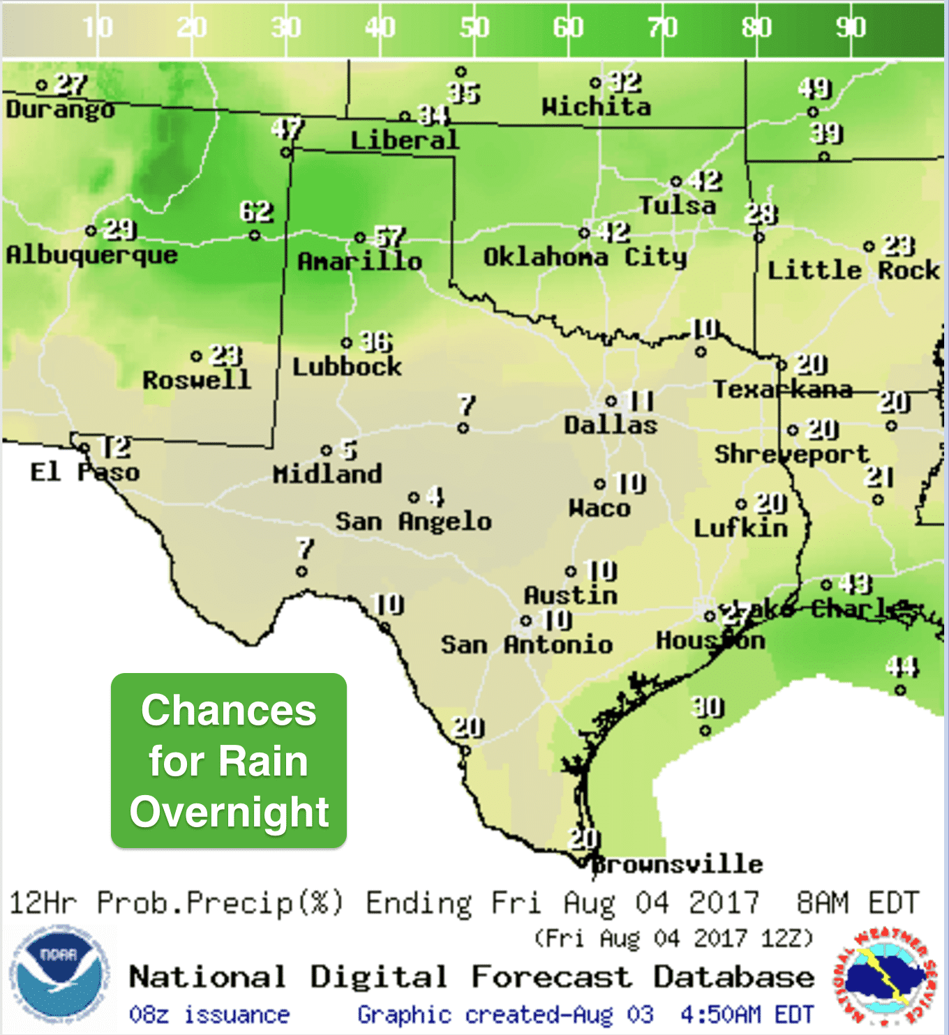
After a brief reprieve for the panhandle region, a wet pattern returns and should hang around for at least the next several days across the region. Today will be mostly dry for the panhandle and south plains, but as we get into the afternoon and evening hours, we’ll begin to see storms moving in from eastern NM and southeastern CO aided by the arrival of a weak cool front. Some storms could reach marginally severe limits with gusty winds, frequent lightning and small hail. This front will wash out before it makes it too far into northern Texas, so don’t expect much of an impact elsewhere. Ongoing rain showers across south central Texas between San Antonio and Corpus will continue for at least several more hours but should begin to decrease by early afternoon. Additional widespread pop-up showers are expected by early afternoon across much of southern Texas…but they will be very hit or miss. Main threats with those will just be brief heavy downpours. Below we have a look at how the radar may look today through about 11pm. Keep in mind this is a simulated model forecast, not live radar:
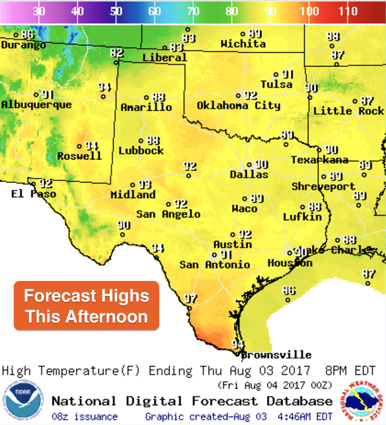
Highs today, warm and sticky, but still below what we expect for the first week of August. Deep south Texas will finally be cooling off a few degrees thanks to cloud cover and scattered rain chances today. We’ll warm up just a couple of degrees this weekend, and the humidity will be sticking around, but we’ll still remain just below normal. Hard to believe, but as one of my long-time high school friends in Portland, OR pointed out…it’s hotter there right now than in Texas! Enjoy!


0 Comments