

Scattered thunderstorms erupted this afternoon across portions of North Texas extending southwest into the Big Country. These storms fired up in a weakly sheared environment. That means each thunderstorm’s updraft generally lasted less than an hour. As those storms weakened they produced outflow boundaries. Those boundaries, in turn, helped new storms fire up nearby. By the early evening hours, we ended up with strong storms across the D/FW Metroplex with additional scattered storms in the Concho Valley, Hill Country, and eastern Big Country. These storms are moving various directions depending on which direction their respective outflow boundary is moving. The risk of severe weather is low this evening, although we did have some 50-65 MPH microbursts earlier this afternoon.
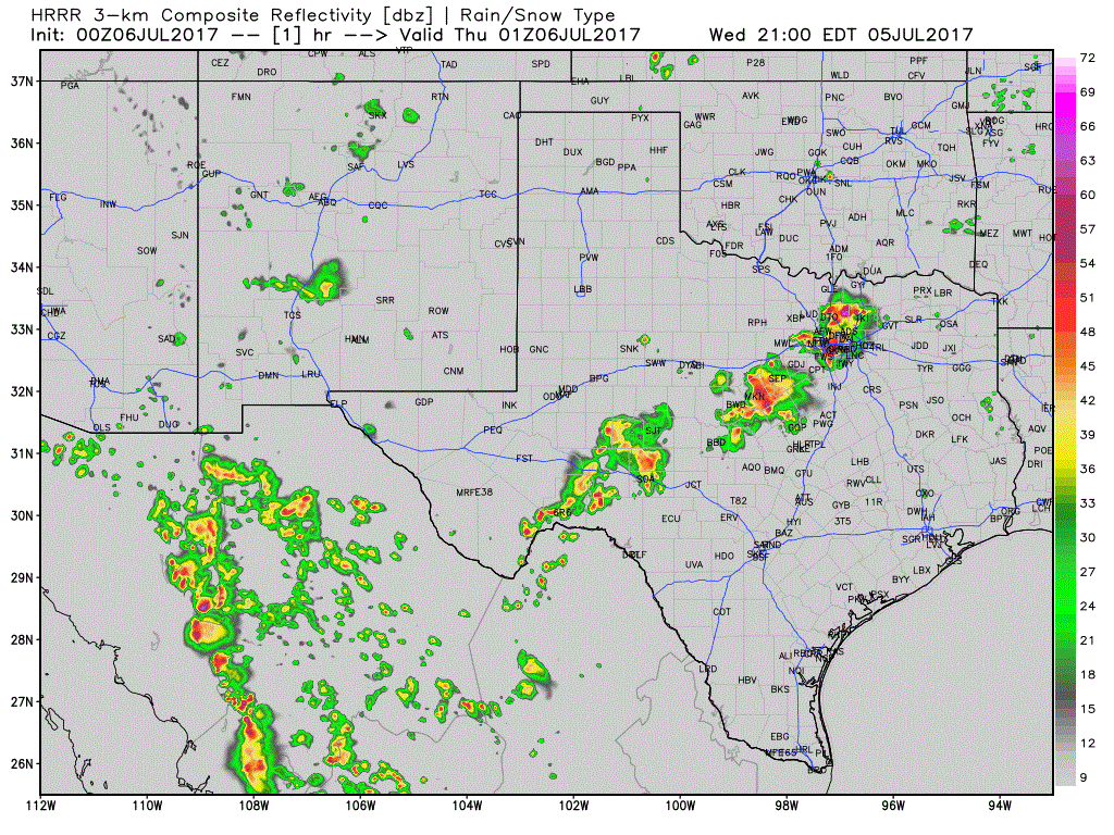
Simulated model radar loop for tonight from the HRRR. It probably won’t get the locations/timing completely correct, but gives a general idea of decreasing storm coverage with time.
Now that the sun has set we’ll see a decline in both thunderstorm intensity and coverage through midnight. In a weakly-sheared, unstable environment most thunderstorm’s are diurnally driven. Without any big source of lift in place after sunset, these storms slowly weaken in the evening hours, although outflow boundaries can keep storms going into the late evening hours. One example of that is in the eastern Big Country where an outflow boundary is helping to spark off new storms at the time of this blog writing. Regardless, we’ll see storm coverage decrease over the coming hours. Flash flooding will remain a concern where heavy rains fall for an extended duration. This is especially true in urban environments such as eastern Dallas County. Pockets of showers may continue through the late night from the Concho Valley northeast into North Texas but should be much less intense than what we saw earlier this afternoon.


0 Comments