

The Storm Prediction Center has upgraded the Texas Panhandle to the ‘standard’ level 2 risk of severe weather for the late afternoon and evening hours. A level 1 “marginal” risk of severe weather includes Northwest Texas, West Texas, and the Big Country. There are five levels in the severe weather risk scale – one being the lowest and five being the highest. A level two is the ‘standard’ risk level for most severe weather days. The risk timeframe will generally be from about 5 PM through the late evening hours as a complex of storms move south/southeast tonight.
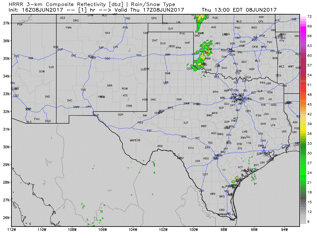
The initial thunderstorm development late this afternoon in the Texas Panhandle will probably be discrete. The strongest of those storms may be supercellular with a risk of large hail and localized damaging wind gusts. Storms may actually tend to move slowly to the south with a decent northwest flow aloft. By the early evening hours we should see storms congeal into a cluster or line. That line will tend to have a risk of damaging wind gusts, locally heavy rain, and some hail. That cluster will also tend to move south, maybe south/southeast into West Texas and toward the Big Country and eastern Permian Basin. The storm cluster should be weakening as it moves into the Big Country and Permian Basin late tonight. However, don’t be surprised if it ends up leaving a trail of wind damage in its wake in parts of the Panhandle and West Texas. We’ll have to keep an eye on the track of the cluster along with any outflow boundaries it may end up producing. The High Resolution Rapid Refresh (HRRR) model, along with its experimental sibling, is showing isolated storms forming early Friday in parts of Northwest Texas and western North Texas. Those storms would probably be loud boomers, but with only a low-end severe risk in the form of some quarter size hail.


0 Comments