
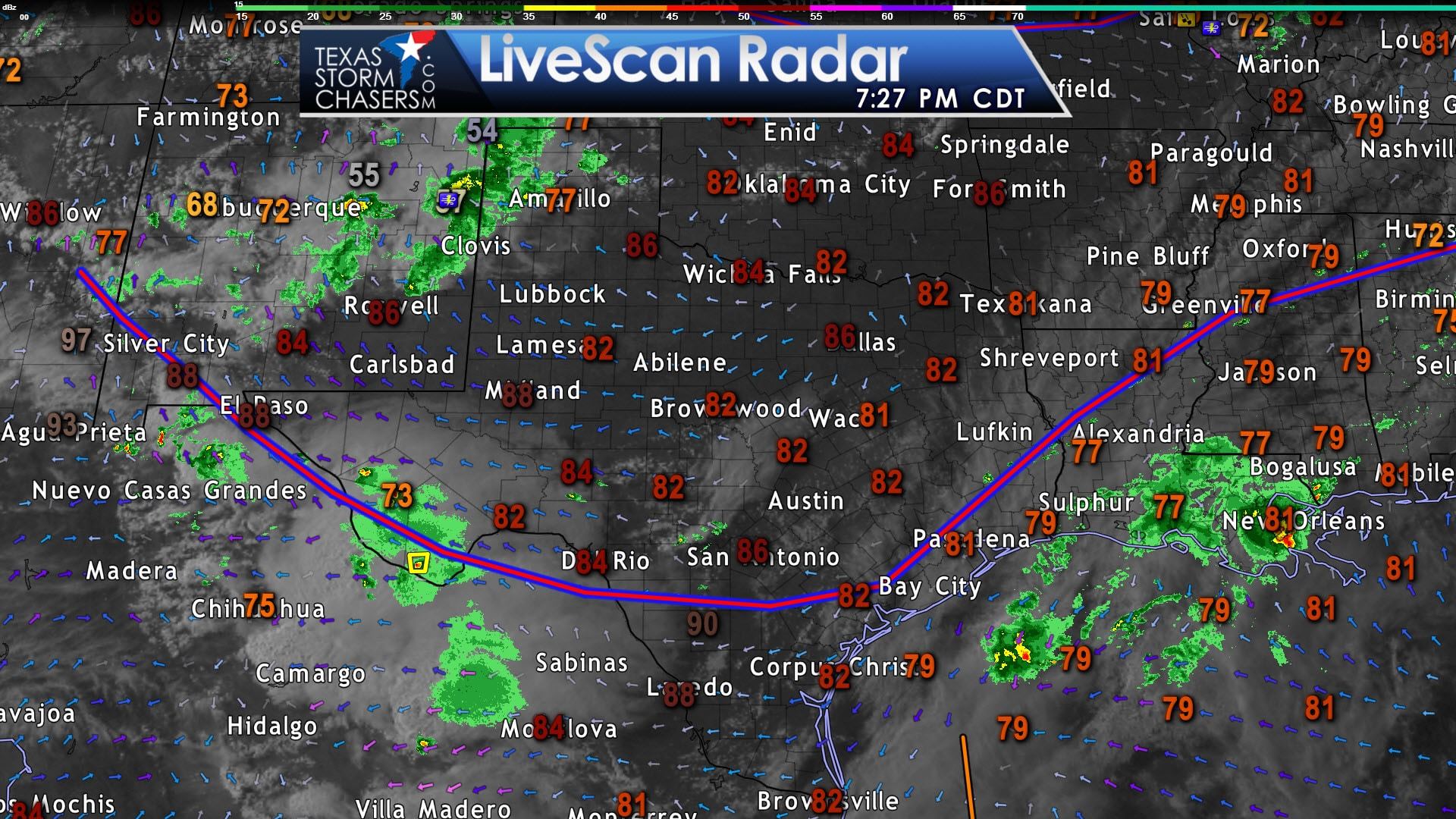
It has been a good Memorial Day in the weather department across Texas. No excessive heat and no dangerous severe storms. We did have some showers along the Middle and Southeast Texas coasts and we have some storms moving into the Texas Panhandle and into the Big Bend this evening. Temperatures at the time of this blog writing range from the upper 70s in Amarillo up into the 80s across the rest of the state. Humidity levels are lower north of a stationary front located from near El Paso east to south of San Antonio to very near Houston. South of that stationary front I’m afraid it still feels like summer with oppressive humidity. The front will mix out over the next day and higher moisture levels will start progressing back to the north and west. That’ll set the stage for our next precipitation event starting Wednesday and continuing into Thursday.
Isolated showers and maybe a storm will be possible across the state tomorrow, but chances will increase Tuesday Night in the Borderland, Trans-Pecos, Permian Valley, into the Big Bend and Southwest Texas. A strong storm is not out of the question tomorrow night with small hail and gusty winds, but widespread severe storms are not expected. Scattered showers and thunderstorms will spread northeast into the Rio Grande Valley, South Texas, Concho Valley, north/northwest into West Texas during the day Wednesday. Showers/storms are also possible in the Middle Coast and Southeast Texas. By Wednesday Night rain chances will be increasing in North Texas, East Texas, and Central Texas. We may be dealing with numerous showers and storms by this point. The risk of severe weather continues to look isolated during this time-frame. We’d be more concerned with a localized flood concern on Wednesday Night.
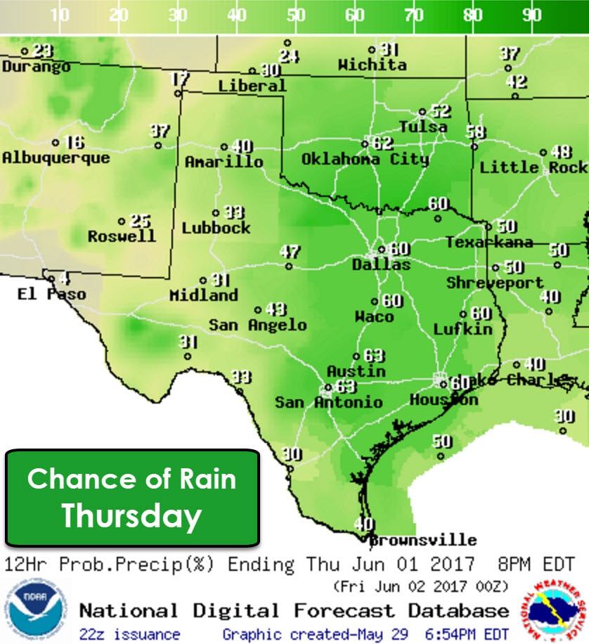
Scattered to numerous showers and thunderstorms are expected, based on the current data, during the day Thursday across the eastern two-thirds of Texas. It might be easier to describe who has the lowest rain chances on Thursday – and that winner will be the Borderland who should be mostly dry by Thursday. Precipitation may be fairly widespread during this time period across the Interstate 35 corridor and surrounding regions. Some heavy rain is expected and localized flooding may become a threat. A few marginally severe storms are possible Thursday afternoon into the evening hours, but that threat may remain on the low-end thanks to the widespread rain. We’ll be able to refine/delineate specific threats once get closer and a better grasp on all of the ingredients.
By Thursday Night into Friday we’ll see rain chances start to taper down. By Friday scattered showers and storms will remain possible along and east of Interstate 35/35W. A few showers may be possible in the Permian Basin into the Big Bend. You can expect this forecast to change as we get closer to the late week and a better idea on the incoming storm system’s track and speed. Our late week system may produce widespread rain totals of one to three inches from Texoma and Northwest Texas south through South-Central Texas – all the way east into Arkansas and Louisiana. We’ll be able to delineate more specific rain totals in a graphical format once we get closer. Until then, just expect it to be wet on Wednesday and Thursday.


0 Comments