
Moments after I publish a blog saying a watch doesn’t appear imminent we see a severe thunderstorm watch issued. Sounds about right! We now have a severe thunderstorm watch until 11 PM for portions of Central Texas, South-Central Texas, the Brazos Valley, Southeast Texas, and parts of East Texas. San Antonio, San Marcos, Austin, Waco, Corsicana, Palestine, Tyler, Lufkin, Conroe, Houston, and Bryan/College Station are included in this watch. For the timeline and forecast aspects please see the blog I published about ten minutes prior to this watch being issued – click here for that post.
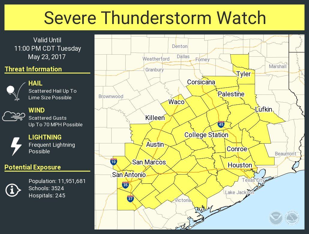
Severe Thunderstorm Watch Number 259
NWS Storm Prediction Center Norman OK
330 PM CDT Tue May 23 2017
The NWS Storm Prediction Center has issued a
* Severe Thunderstorm Watch for portions of
central and southeast Texas
* Effective this Tuesday afternoon and evening from 330 PM until
1100 PM CDT.
* Primary threats include…
Scattered large hail and isolated very large hail events to 2
inches in diameter possible
Scattered damaging wind gusts to 70 mph possible
SUMMARY…Scattered thunderstorms now forming across parts of
central Texas are expected to increase in coverage and intensity
while developing eastward and southeastward toward mid and upper
Texas coastal areas through this evening. Strongest activity will
be capable of producing severe hail and potentially damaging surface
gusts.


0 Comments