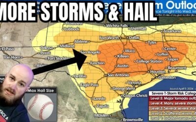
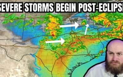
New tornado watch for portions of Northeast Texas and eastern North Texas until 10 PM. This includes Paris, Cooper, Greenville, Terrell, Corsicana, Mexia, Buffalo, Palestine, Athens, Tyler, Mineola, Gilmer, and Mount Pleasant. Surface winds have become more southeasterly across the watch zone – helping to enhance low level wind shear. At the same time a stronger than anticipated cap allowed storms to develop later than expected. Hence, we’re dealing with a semi-discrete supercellular mode versus a squall line at this point. The strongest storms may produce a tornado, hail up to the size of golfballs, and damaging wind gusts. Have a way to receive weather warnings and move to a safe place if it becomes necessary.
Tornado Watch Number 175
NWS Storm Prediction Center Norman OK
510 PM CDT Sat Apr 29 2017
The NWS Storm Prediction Center has issued a
* Tornado Watch for portions of
Northeast Texas
* Effective this Saturday afternoon and evening from 510 PM until
1000 PM CDT.
* Primary threats include…
A couple tornadoes possible
Isolated very large hail events to 2 inches in diameter possible
Isolated damaging wind gusts to 70 mph possible
SUMMARY…A band of storms ahead of a cold front and on the west
edge of an outflow boundary will be in a zone supportive of
supercells with the potential to produce a couple of tornadoes,
along with isolated large hail and damaging winds.
The tornado watch area is approximately along and 40 statute miles
east and west of a line from 15 miles northwest of Paris TX to 40
miles southeast of Corsicana TX. For a complete depiction of the
watch see the associated watch outline update (WOUS64 KWNS WOU5).


0 Comments