
Isolated development of severe thunderstorms is possible this evening across parts of western north Texas. Most of this activity will be elevated in nature along and behind a stationary cold front draped from about Wichita Falls southwest towards Big Spring. Because these storms will be elevated, the threat for tornadoes is expected to be very low. Large hail will be the main threats along with frequent cloud to ground lightning. One storm recently attempted development just south of Munday in in Knox County, but it hasn’t made much progress over the past half hour. Additional storm development is possible across this area within the next couple of hours, so residents in the area will need to keep an eye on the sky this evening.
VISIBLE SATELLITE IMAGE AT 5:55PM CENTRAL TIME
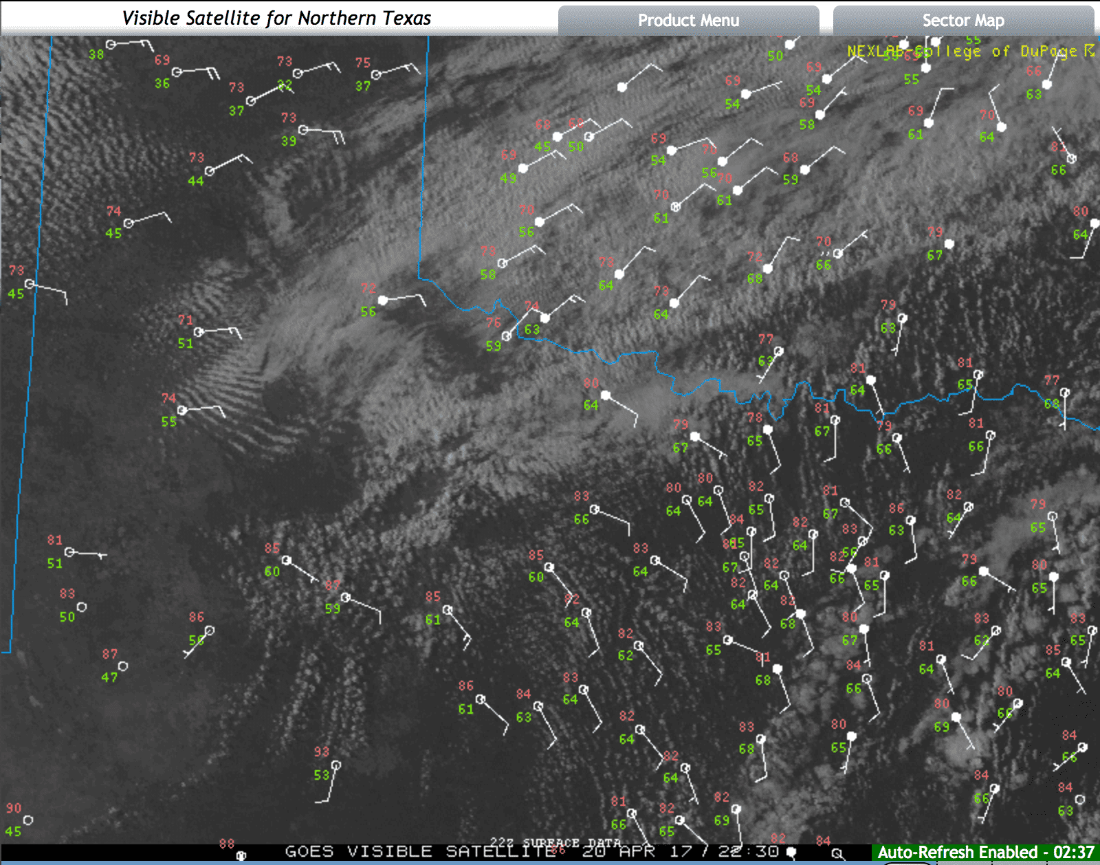
Visible Satellite Image at 5:55pm Central Time
Mesoscale Discussion 0529
   NWS Storm Prediction Center Norman OK
   0540 PM CDT Thu Apr 20 2017

   Areas affected...Northwest TX...OK

   Concerning...Severe potential...Watch possible

   Valid 202240Z - 210015Z

   Probability of Watch Issuance...60 percent

   SUMMARY...Thunderstorms are expected to develop across northwest TX
   into central OK this evening.  Large hail is the primary risk with
   this activity.

   DISCUSSION...Surface front has stalled from east central OK into
   northwest TX early this evening.  With surface temperatures in the
   mid 80s across northwest TX a corridor of modest instability has
   developed from the TX South Plains to near the Red River.  Latest
   visible satellite imagery depicts a thickening CU field along the
   front with deeper convection over Haskell/Knox Counties in TX
   producing weak echo returns.  As LLJ strengthens across this region
   into southwest OK this evening it appears a marked increase in
   thunderstorm activity will be observed.  Numerous elevated
   thunderstorms should blossom north of the boundary and adequate
   mid-level lapse rates are in place for robust updrafts.  Greatest
   risk with this activity should be hail.


0 Comments