
Credit: NOAA Photo Library/Teresa Wagner
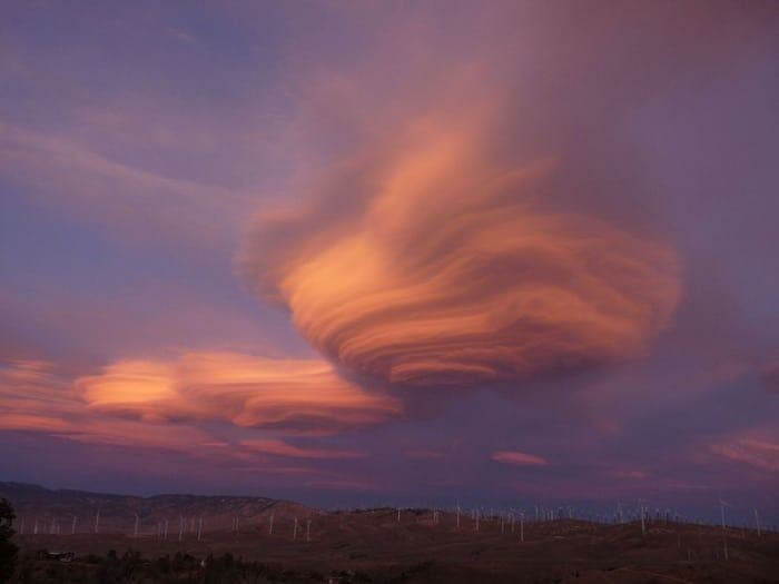
We’re happy to announce a new weekly feature called Weather Wednesday! These weekly articles will contain educational information about the many fascinating aspects of meteorology. We’re always open to suggestions on future topics, so feel free to shoot us a note with any ideas! Today’s tidbit for #WeatherWednesday is about lenticular clouds. If you were to ever see one, it would be over the peak of a mountain or a mountain ridge. They are uncommon and require several environmental conditions to be formed.
They are formed when stable air steadily flows over a orographic feature. If the environment supports condensation for rising air at or just above the mountain top, the air flow will suddenly condense (which makes us appear as a cloud). After a parcel of air is pushed up and over a mountain it will descend on the lee side since it was originally stable air. Once it descends, it warms up and loses its condensation, where it eventually reaches equilibrium and the flow moves horizontally again.
Because this is a constant process as long as flow is steady under special environmental conditions, the lenticular cloud doesn’t appear to move away from the top of the mountain. It can change shape with time depending on the amount of turbulence. A great example of lenticular clouds and how they change shape with time but remain stationary can be seen in this time lapse. This was taken by The Elements Photography.


0 Comments