
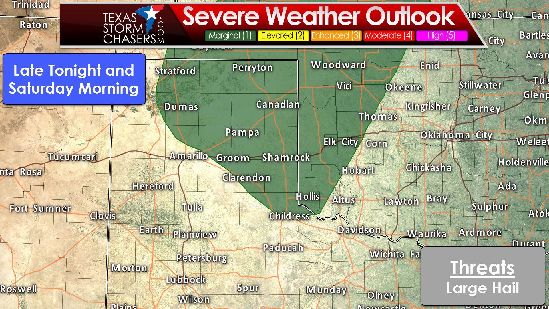
Isolated strong to marginally severe storms are possible after midnight in the Texas Panhandle. Most of this activity will not be severe. One or two storms may produce hail up to the size of quarters. Widespread severe storms are not expected tonight.
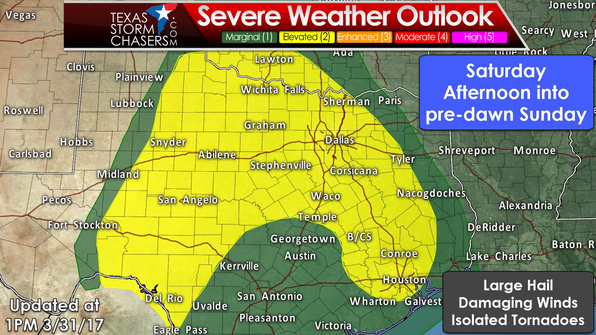
Scattered thunderstorms are expected to develop during the afternoon and evening hours Saturday just eat of a dryline. This dryline should be located in the Big Country into the Concho Valley. Some of these storms may be severe with a risk of large hail, localized damaging wind gusts, and a low chance of a tornado or two. These storms will progress east tomorrow evening into western North Texas. Depending on how the scenario evolves, a complex of storms may evolve and move east toward the D/FW Metroplex tomorrow night. If that happens, we’ll have ot keep an eye out for damaging wind gusts. This part of the forecast is low-confidence, so check back later on for refinements.
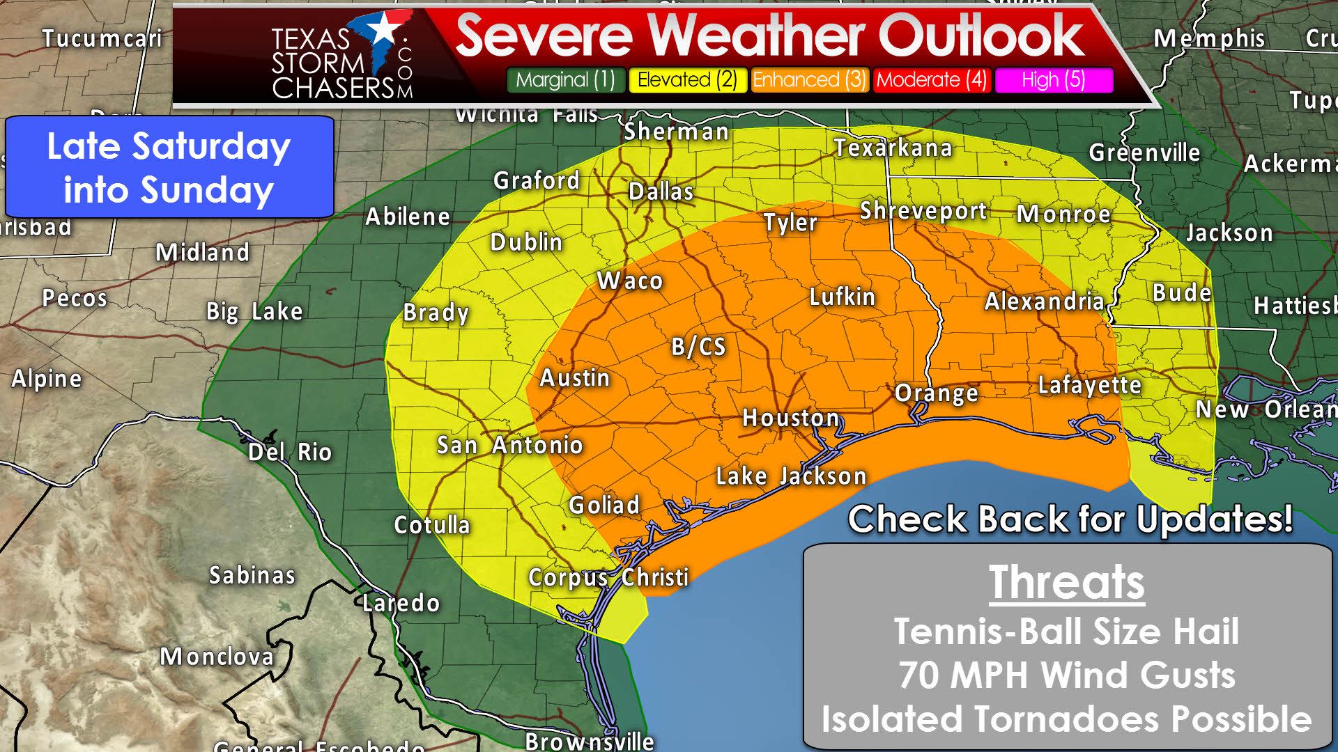

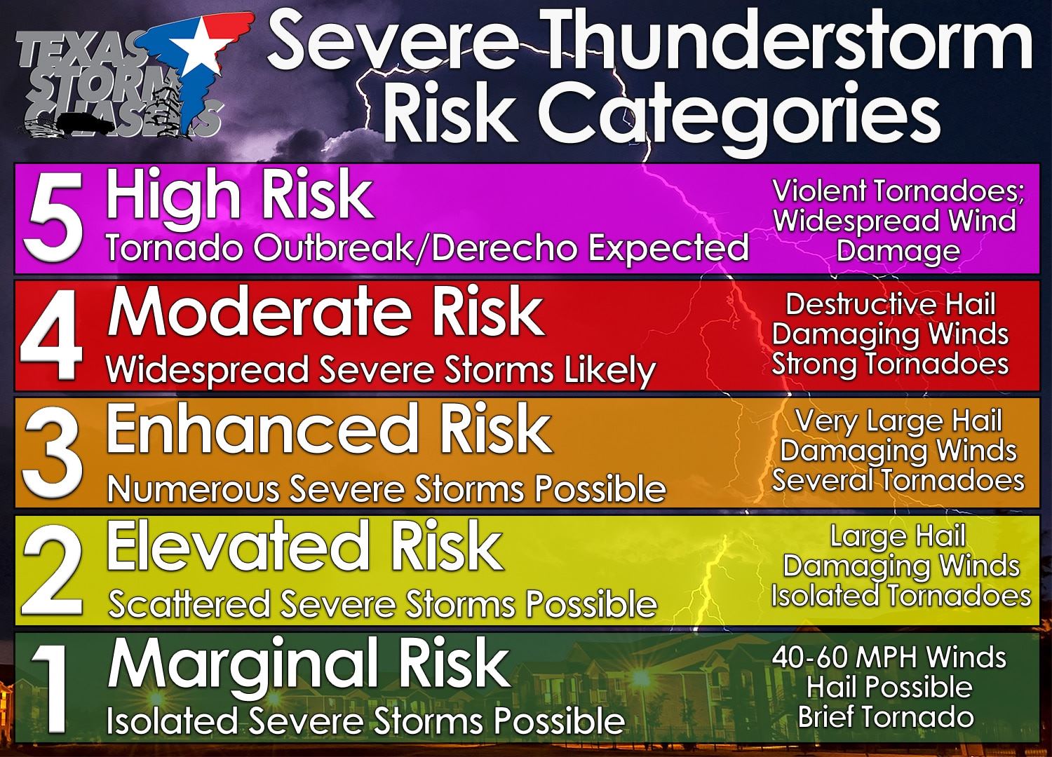
Late Saturday into Sunday has the potential of being an active severe weather period. Refinements will need to be made to the forecast in future updates. The Storm Prediction Center has already issued a large level three (enhanced) risk for this timeframe. They’ve got it encompassing portions of Central Texas, East Texas, the Brazos Valley, Middle Coast, and all of Southeast Texas. Austin, Waco, Tyler, Lufkin, College Station, Goliad, Victoria, Houston, and Beaumont are all a few cities included in this risk area. The standard level two risk includes South-Central Texas northward into the Hill Country, North Texas, and Northeast Texas. Corpus Christi, San Antonio, Brownwood, D/FW, to Texarkana are a few cities included in the level two risk. These risk areas will change as future refinements are made to the forecast. All modes of severe weather appear possible in this timeframe, with the possibility of isolated tornadoes highest in the enhanced risk area. Depending on how the threat evolves, we may see a portion of this area upgraded to a level four in later outlooks. Regardless, it would be wise to remain weather aware. Severe thunderstorms may be underway in western areas of the risk zone by late Saturday night, and this could be a long-duration event as the threat moves from west to east through Sunday. The typical diurnal cycle won’t play much of a role in the severe weather threat. Hence, we may be dealing with severe storms overnight Saturday into the pre-dawn hours Sunday.


0 Comments