
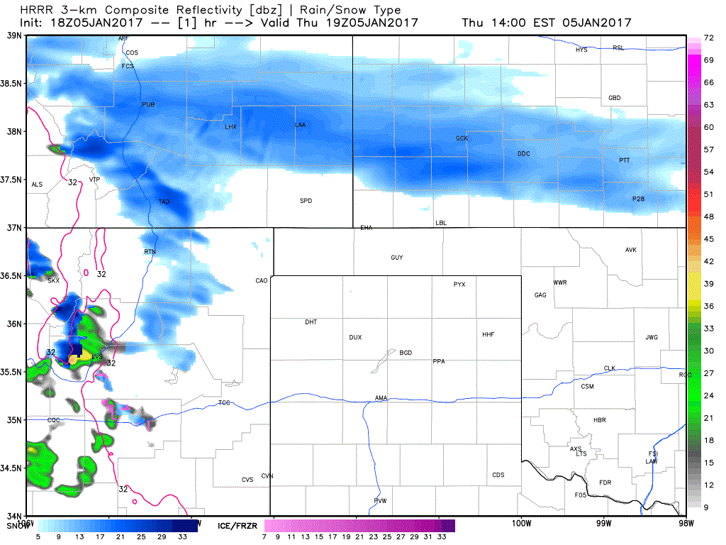
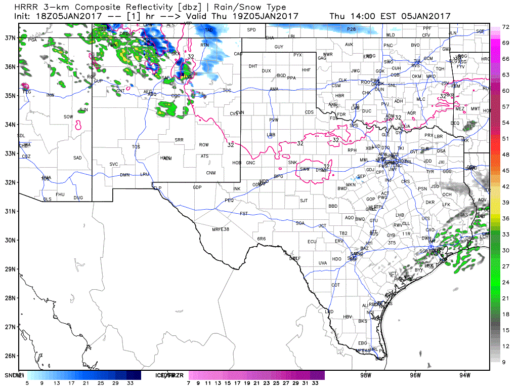
These two animations show the projected radar from the high resolution rapid refresh model. We note that scattered light showers will be possible in Deep South Texas to Southeast Texas today and tonight, but temperatures will remain above freezing.
- Snow is now falling in western sections of the Texas Panhandle. Light snow will continue to increase in coverage across much of the Panhandle by dinner time.
- Heavier snows will develop by this evening in the Texas Panhandle. West to east narrow bands with heavy snows are expected within a more widespread area of lighter snow. Significant snow accumulations may occur in these localized east/west bands. We cannot accurately pin those bands down, but each one may only be 10 to 20 miles wide.
- A Winter Storm Warning is now in effect for the northwestern Texas Panhandle, including Dalhart. Five to seven inches of snow are possible in that warning zone. Widespread three to five inches of snow, with isolated totals up to six inches, are possible across most of the Texas Panhandle.
- With surface temperatures in the single digits and teens, any snow that falls will easily accumulate on roads in the Texas Panhandle today and tonight. Slick and hazardous road conditions are expected this evening through much of Friday. Temperatures will be very cold on Friday into Saturday morning, so don’t expect much in the way of melting.
- Snow that impacts the Texas Panhandle will move east into Oklahoma. The latest data really doesn’t suggest much snow falling south of the Red River on Friday. A dusting of snow may occur along the Red River counties in Northwest Texas, Texoma and Northeast Texas. No accumulations are expected in most of Northwest or North Texas, including the D/FW Metroplex. Some slick bridges may occur where light snow falls near the Red River, but no travel impacts are expected too far south of the Red River. The same cannot be said for the Texas Panhandle or up in Oklahoma.
- Winter precipitation will be outta the picture by Friday afternoon to Friday evening. Any snow that does accumulate will not likely start to melt until Saturday. A very cold Friday night is expected as skies clear, winds become light, and radiational cooling takes full effect.


0 Comments