

The radar is active this morning with several different areas of convection ongoing. The most obvious is in Southeast Texas thanks to a weak low pressure area sitting in the western Gulf of Mexico. Not to be confused with Invest 99L southeast of Florida, this low pressure off our coast is not expected to become a tropical cyclone. However, it will act as a catalyst to bring even more moisture inland from the Gulf of Mexico today. Light to moderate rain is just above to move into Houston from the east and rain chances will continue throughout the day. We have light showers ongoing across the Permian Basin into West- Texas, and the Texas Panhandle this morning as well.
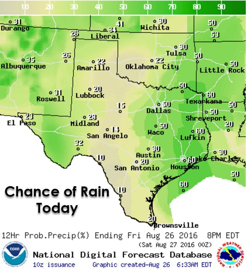
Scattered showers and thunderstorms are forecast today in Southeast Texas, the Brazos Valley, East Texas, Northeast Texas, Central Texas, North Texas, and further west in the Permian Basin. Isolated activity will be possible across all areas not mentioned above, although with lower coverage and chances. The highest chances of rain today will be in the eastern third of Texas thanks to copious amounts of moisture advecting inland from the Gulf of Mexico. As temperatures warm into the upper 80s by the early afternoon our convective temperatures will be reached. Put another way, the atmosphere will be warm enough to erode any sort of cap and we’ll see thunderstorm development occur.
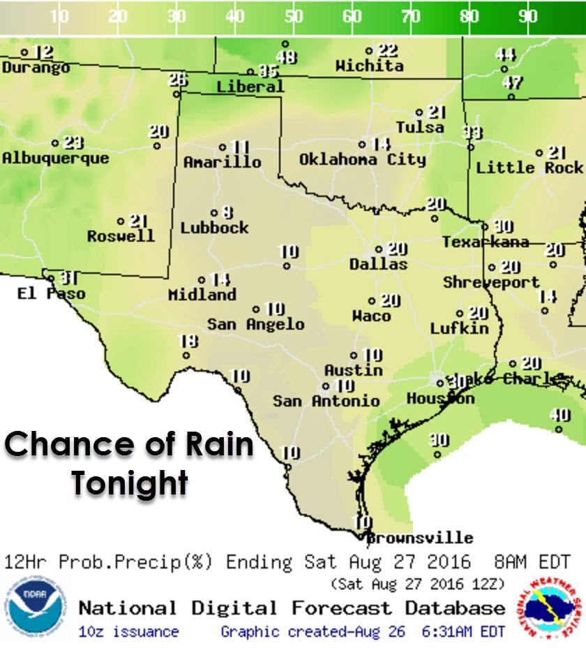
These summer-time storms could briefly be strong in spots with localized gusty winds and plenty of lightning. Otherwise widespread severe weather is not anticipated with this activity. Locally heavy rain may cause minor flooding. The rain chances will diminish by early evening with only isolated activity continuing into the overnight hours. Further west in the Permian Basin north through West Texas and the Panhandle we will also see afternoon thunderstorm development. Like activity further east some of the storms may briefly be strong with gusty winds, small hail, and locally heavy rains before weakening early this evening.

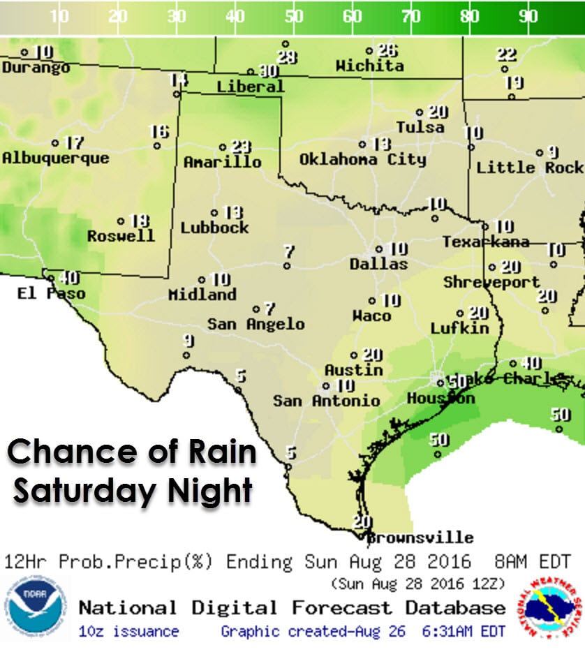
Isolated to widely scattered showers and thunderstorms are expected again on Saturday, but with slightly lower coverage than today. Activity will increase during the early afternoon hours as temperatures warm into the 80s and 90s. The highest coverage of storms will be during the mid-afternoon when a few stronger storms may occur. Like today we’ll see activity diminish by early evening as we get past peak afternoon heating. Widespread severe weather and flash flooding is not anticipated at this time.
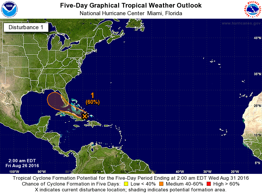
Invest 99L remains very disorganized this morning southeast of Florida. Development is unlikely today but the chance of becoming a tropical cyclone does increase early next week as the system moves into the eastern Gulf of Mexico. The good news for us is that this system, if it develops at all, will probably be a threat to the eastern Gulf of Mexico coastline. However, we will need to watch it closely since any south/west shift could result it in coming closer to Texas. If any threat were to develop to Texas it would still be 6-7 days away. We’ll keep an eye on it and encourage you to do the same.


0 Comments