
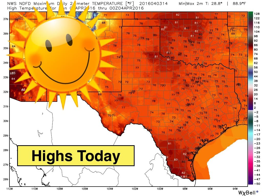
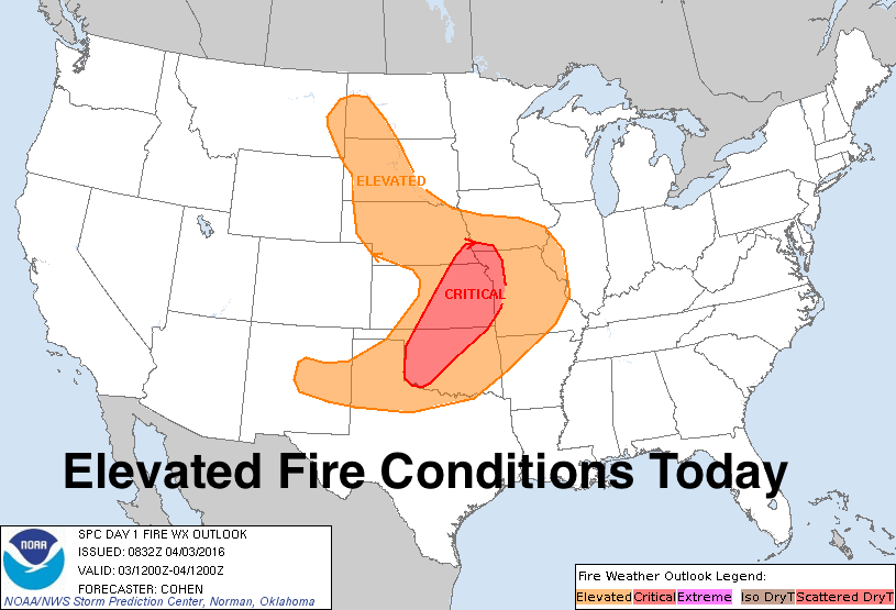
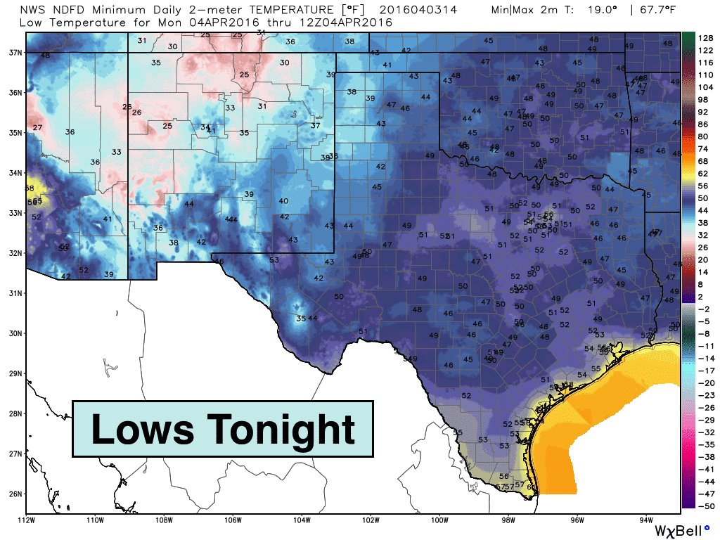
Another gorgeous day in the forecast today with no rain expected and plenty of sunshine for everyone! Winds will pick up this afternoon across parts of the panhandle and northwest Texas where Elevated Fire Weather conditions will be in place. Other than that, no additional weather-related hazards to speak of. Highs today will be warmer than yesterday’s, and we’ll see this warming trend continue into the first few days of the work week until our next cold front arrives on Wednesday.
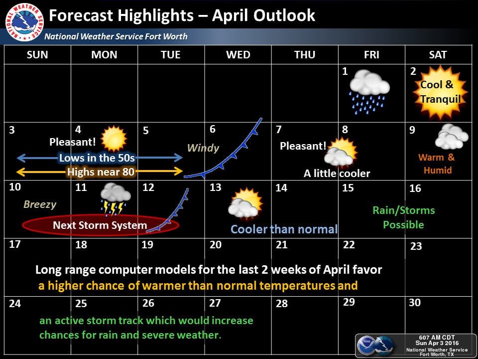
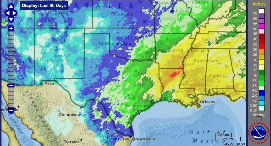
A Look Ahead – Conditions will remain mostly dry through the work week with only small chances for rain on Wednesday as our next front arrives. The next meaningful chance of rainfall won’t arrive until we get into next weekend as an upper level low drops south along the west coast and pushes east across southern Arizona and New Mexico. This will bring chances for rain across west Texas and the panhandle region back into the forecast by next weekend and then further east across central and northern Texas the first part of next week, although at this time it’s unclear just how much rain will fall. While the eastern half of our state has experienced quite a bit of rainfall so far this year, west Texas has been lacking…so any chance of rain across this region is welcome right now. At any rate, it’s worth watching as instability levels look to be sufficient enough to produce some severe weather by the first part of next week. We’ll have updates out on all of that as we get closer!


0 Comments