
Yesterday’s cold front will begin retreating back to the north as a warm front bringing moisture back with it. Depending upon how far north the moisture can reach by early tomorrow, it will result in keeping lows overnight a good amount warmer than they were this morning across parts of north and central Texas. 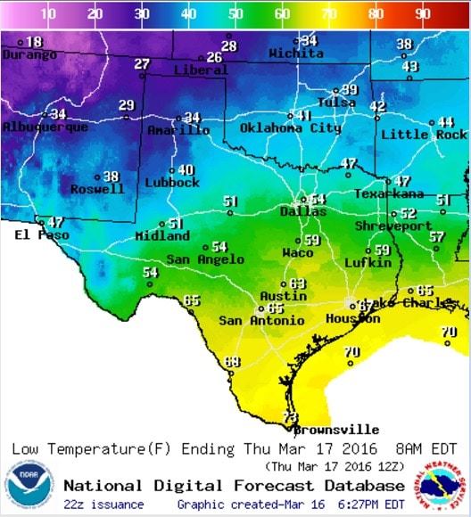
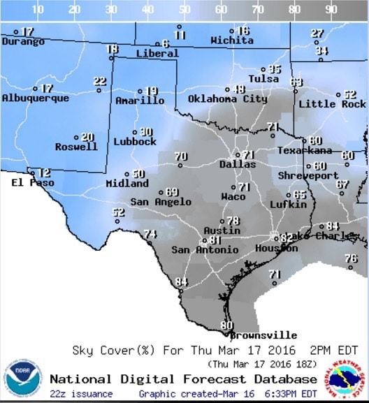
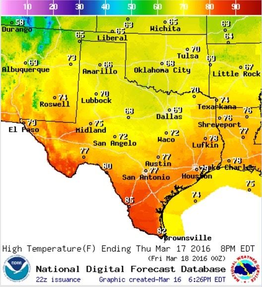
Clouds will also be on the increase, building from south to north overnight, which will not only help stifle radiational cooling overnight but will also keep temperatures a bit cooler tomorrow across south, central and north Texas tomorrow afternoon. Highs tomorrow across north and central Texas are only expected to reach the upper 60s to low 70s. The warmest temps will be found across south Texas and along the coast where upper 70s and low 80s will be reached by peak heating tomorrow afternoon.
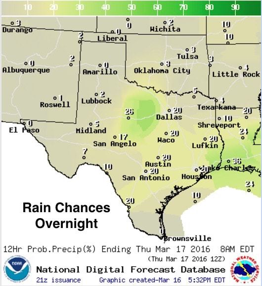
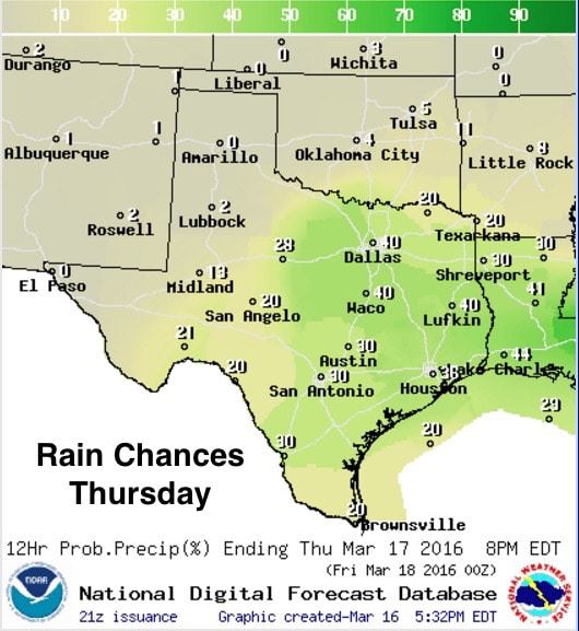
Rain chances begin to increase overnight particularly across parts of western north Texas and just west of the DFW Metroplex. There is a chance overnight of seeing a few strong storms in this region, mainly between midnight and 8am tomorrow, a few of which could contain hail up to the size of quarters, frequent lightning and heavy localized downpours. David addressed this in his late afternoon blog, so be sure to hop over and check that out for further details on any severe weather threats early tomorrow morning.
Rain and storm chances carry forward into Thursday as well with more widespread coverage of general rain showers expected for the most part, but we could see a few strong to possibly severe storms develop south of the I-20 corridor tomorrow afternoon as we reach peak daytime heating. Development of strong storms will be highly conditional on how much the atmosphere can destabilize by mid-afternoon. We will continue to have moisture streaming northward during the day which will help to slowly destabilize the atmosphere, but with a reasonably strong capping inversion in place, and no particular focus for storm initiation such as a defined frontal boundary or upper level disturbance arriving, storms will have a tough time getting their act together unless we can achieve a decent amount of heating across this region. We will be keeping an eye on this and will provide updates later this evening and tomorrow as additional model data rolls in.


0 Comments