
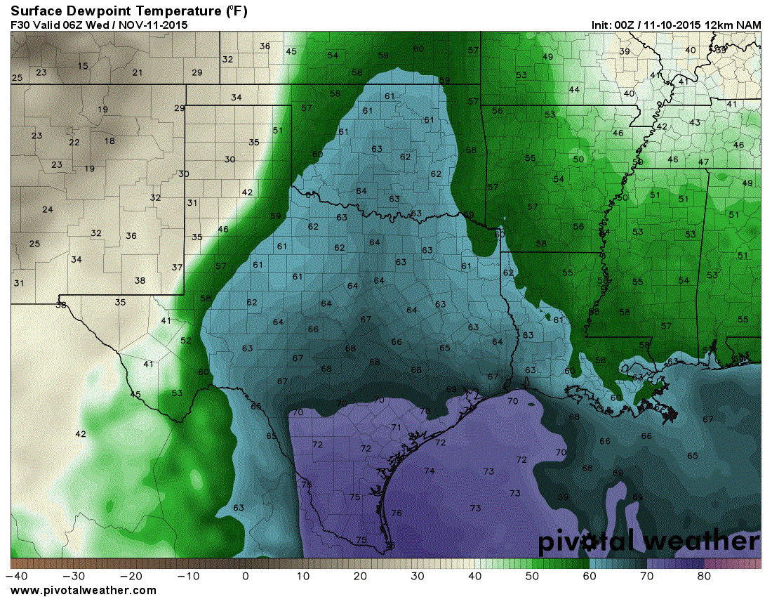
ANIMATION: Surface dewpoint (moisture) values during the day on Wednesday
An intense upper level trough will help push a cold front and dryline through Texas on Wednesday. In terms of precipitation and severe weather potential most of that will be northeast of Texas where widespread damaging wind gusts and tornadoes will be possible. In Texas we’ll be watching sections of Northeast Texas and possibly East Texas during the late morning and early afternoon hours on Wednesday. A thin line of strong storms may fire up before pushing east of Texas. Should that occur we’ll see the chance for some damaging wind gusts and perhaps a tornado. Very fast storm motions to the east mean we’re not worried about heavy rain or flooding potential. Dynamics aloft are weaker the further south you push into Texas. The atmosphere will be unstable in Southeast Texas by Wednesday Afternoon but a strong cap will be in place. It is unclear if that cap can be broken at the time of this writing. Either way we don’t expect widespread severe weather in Southeast Texas on Wednesday.
The big story with this system for Texas will be what occurs after the dryline and cold front push through. Some sections of Texas will experience gusty south winds on Tuesday as moisture streams north ahead of the storm system. By Wednesday we’ll see the opposite occur as a strong cold front and tight pressure gradient help produce strong to even locally damaging northwest wind gusts. The highest wind gusts on the order of 50-60 MPH look to be across the northern Texas Panhandle in the morning hours on Wednesday into the early afternoon. Strong northwest winds of 40 to 45 MPH will be possible across West Texas, Northwest Texas, the Big Country, and North Texas during the afternoon hours on Wednesday. Winds will quickly diminish by the evening hours Wednesday as the pressure gradient lossens with the storm system moving away.

Much cooler air will filter in behind the cold front on Wednesday and Wednesday Night. By Thursday Morning temperatures will be quite chilly across the northwestern 2/3rd of Texas. Freezing temperatures in the 20s to low 30s are expected across the Texas Panhandle and South Plains. A frost is anticipated across the Permian Basin with 30s. Temperatures right around 40 degrees can be expected Thursday morning across Northwest Texas, the Big Country, and Concho Valley. 40s are forecast for North Texas, Northeast Texas, East Texas, Central Texas, the Brazos Valley, and the Hill Country. Depending on how things look over the next few days these temperatures may drop a few more degrees. Its about time!


0 Comments