
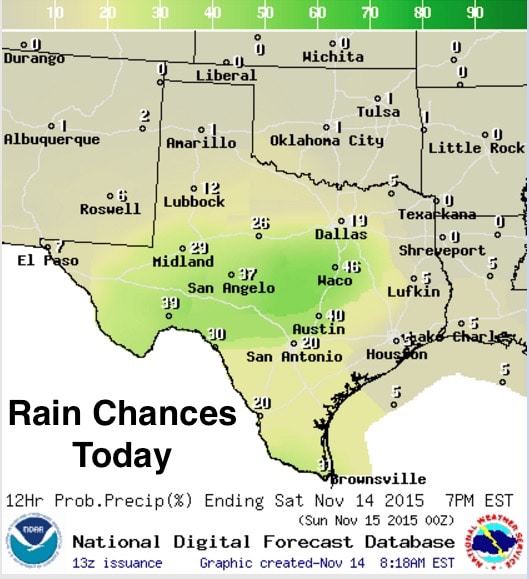
Rain chances return to the forecast today and tomorrow as weak upper level energy begins to arrive from the west. A much stronger system will impact the state by Monday and Tuesday with the threat of severe weather and heavy rainfall returning. David will have the latest updates on that this afternoon. So, for today, light rain showers and drizzle have developed this morning across the Hill Country and southern Edwards Plateau region. This activity is expected to remain light today and slowly spread northeast into central Texas to remain mostly south of the I-20 corridor today. Accumulations also are expected to be light today…mainly 1/10 to 1/4 inch expected. As we head into the overnight hours, we’ll see rain with some embedded thunder increasing from the west and spreading east/northeast by Sunday morning.


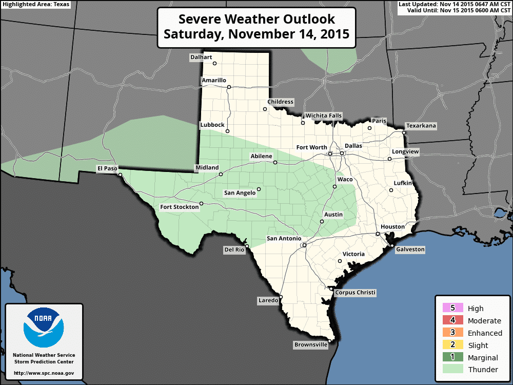
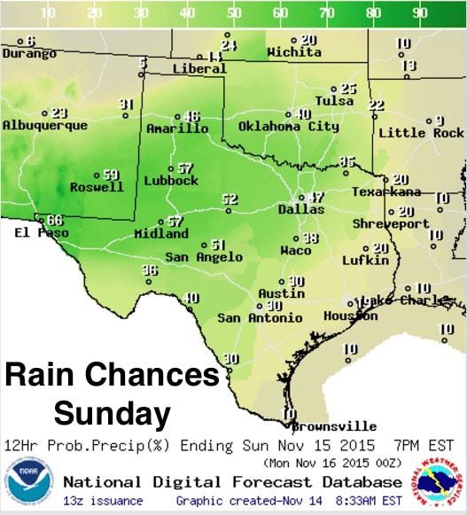
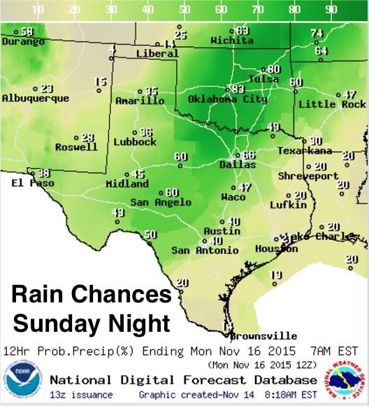
Overnight we may see a lull in precipitation, but by Sunday morning slightly stronger upper level energy will be arriving out ahead of our next system and will bring more widespread and heavier rain chances across west, central and northern Texas throughout the day and into the overnight hours. Precip accumulations will be greater on Sunday…1/4 inch and higher in some locations…but flooding is not expected to be too much of a concern. Some embedded thunder is expected, but the overall severe threat is very low.
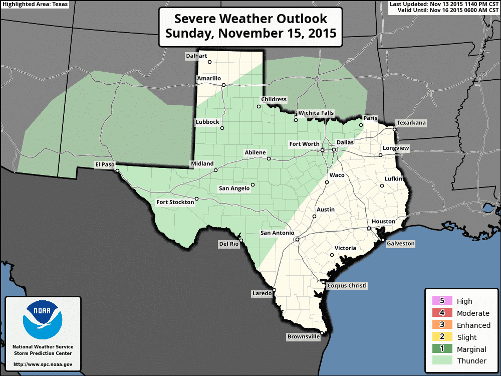
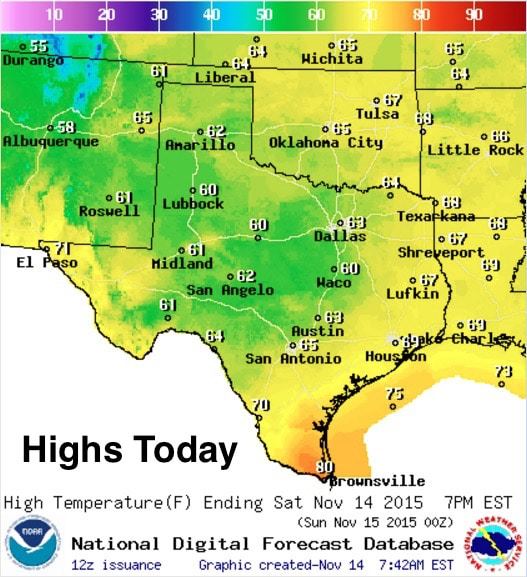
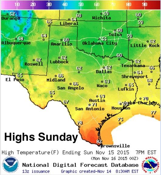
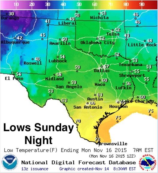
Temps will be a little cooler this weekend with the expected rain and cloud cover expected. Not everyone will be socked in…folks up in the panhandle and down along the southeast coast will see the sun today, but by tomorrow, pretty much the entire state will be socked in and it will remain dreary until the cold front blows through this coming Tuesday. Again, David will have an update out later today with further details on the severe weather threats for Monday and Tuesday along with details on the cold front and some chances for snow in the northern panhandle by early Wednesday…so be sure to check back!


0 Comments