
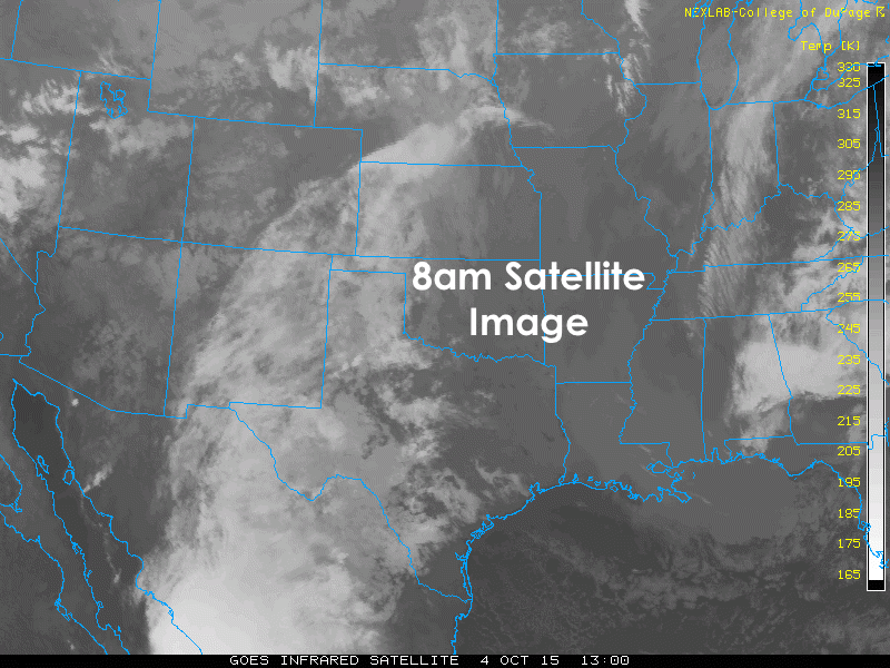
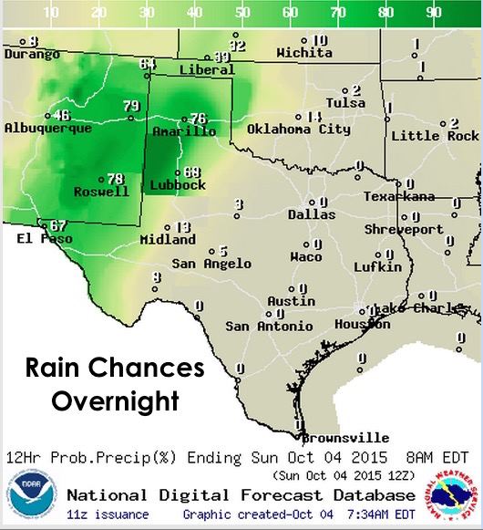
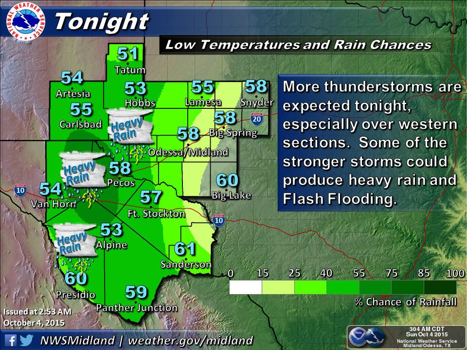
Conditions today will be similar to yesterday with mostly mild and sunny conditions across the eastern half of the state with more cloudiness and additional rainfall expected over the western half of the state. Once again, widely scattered rain is expected to continue for parts of the panhandle and western Texas today and overnight into Monday. An upper level low across the desert southwest will continue to bring rain chances to this region, and will begin to track east through the week with rain chances moving east as we get further into the week. More on that with this evening’s blog.
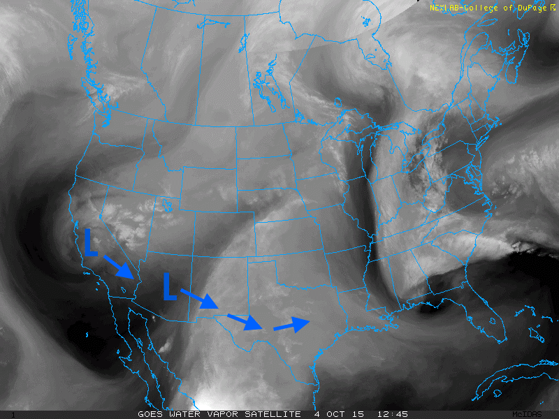
The approaching upper level disturbance from the west, plus moisture continuing to stream north from the remnants of hurricane Marty will bring additional rain chances to portions of the panhandle and western Texas today. Severe weather is not expected today, but a few of the storms could become strong with heavy downpours and localized flash flooding.

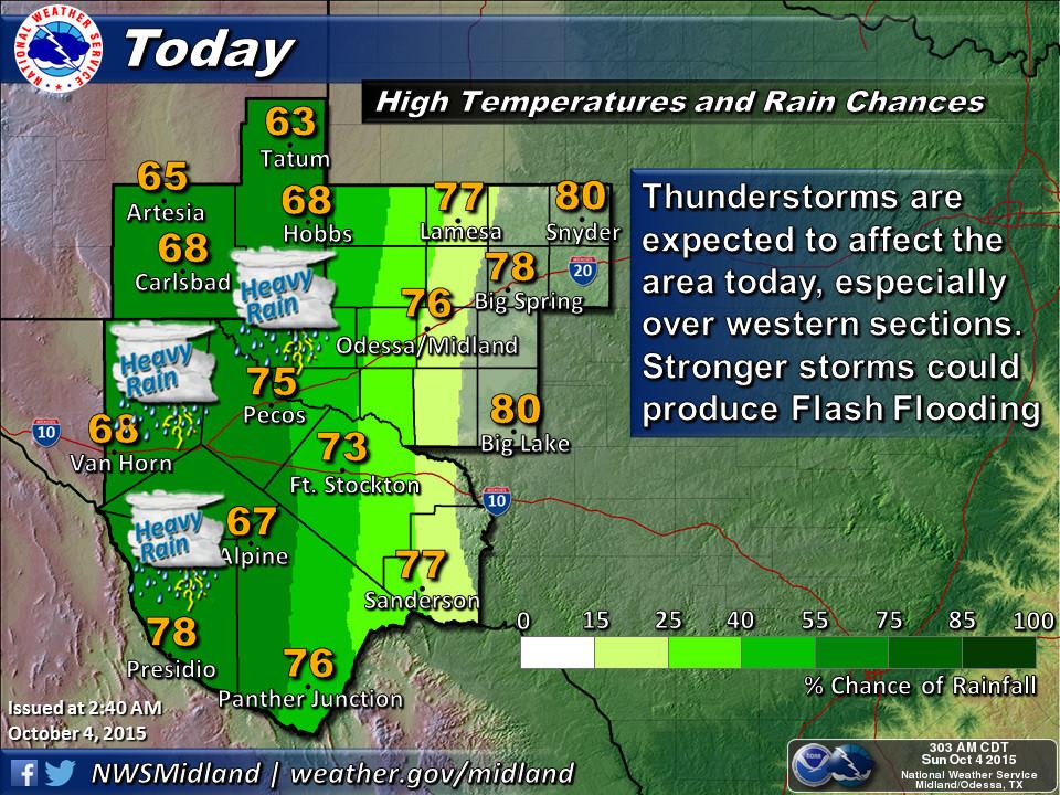

Temperatures today…mild across the eastern half of the state, cooler across the panhandle and western Texas under the influence of cloud cover and rain, with warmer temps across south Texas. Overall not bad, especially with continued lower humidity levels. We will have a few more days with northerly flow, then southerly flow and increasing temperatures will arrive by mid-week, especially for central and eastern portions of the state. Be sure to check back this evening for an expanded outlook for the week ahead which looks to be rainy for parts of the state.


0 Comments