
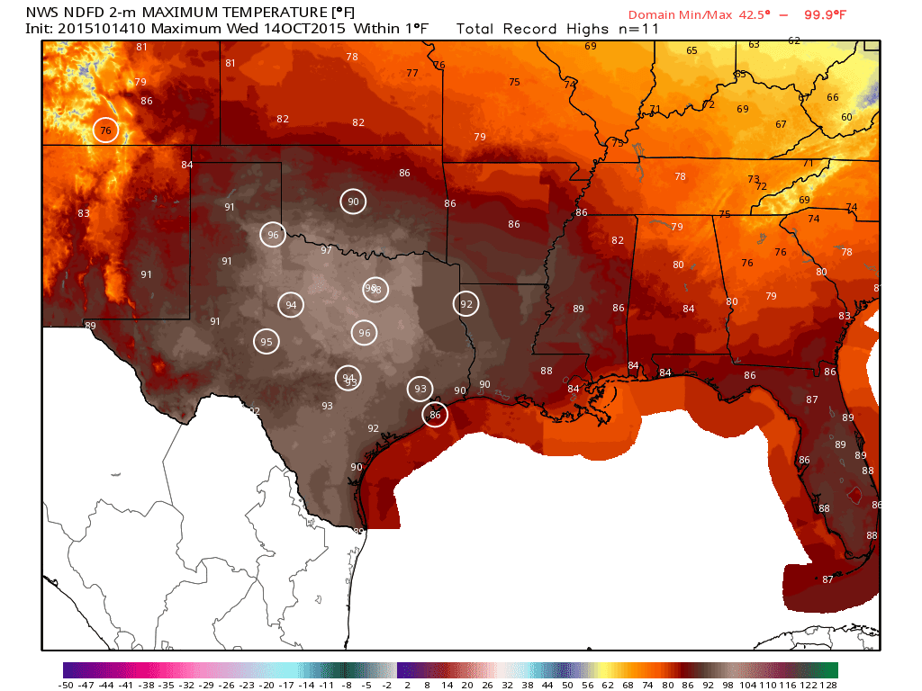
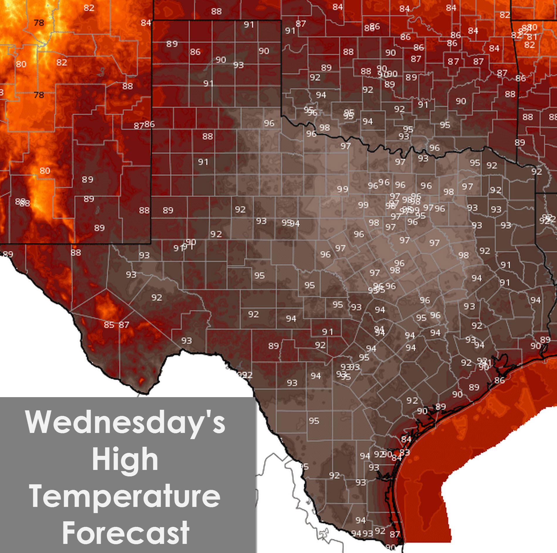
Wednesday’s forecast high temperatures and locations that will approach or set new record highs today.
The calendar may say it’s Mid-October but our weather in Texas makes me think its August. The primary forecast concerns today revolve around the possibility of record high temperatures and elevated wildfire danger. Just like Tuesday we’re starting out the morning cool and dry. Very low moisture values allow the atmosphere to quickly cool off at night and warm right back up during the day. With light south winds forecast today along with clear skies temperatures will skyrocket into the 90s across much of Texas. The hottest locations look to be across Northwest Texas, North Texas, Central Texas, South Texas, and Southeast Texas. Should the temperature forecast for this afternoon verify we’re going to see a lot of cities tie or set new record high temperatures. Childress, San Angelo, Abilene, D/FW, Waco, Austin, Houston, and Galveston are all forecast to tie or exceed record high temperatures. It pains me to say that one or two unlucky towns may actually top 100 degrees today.
A very dry airmass remains in place across all of Texas today except the Rio Grande Valley. Humidity values this afternoon will plummet and some locations could drop as low as 10 percent. Record heat, extremely low humidity values, overgrown vegetation from May rains, and a severe drought all will result in elevated fire danger today. Wind speeds should remain below 15 MPH today. Any fires that develop will likely be difficult to control. Wildfire danger increases on Thursday.

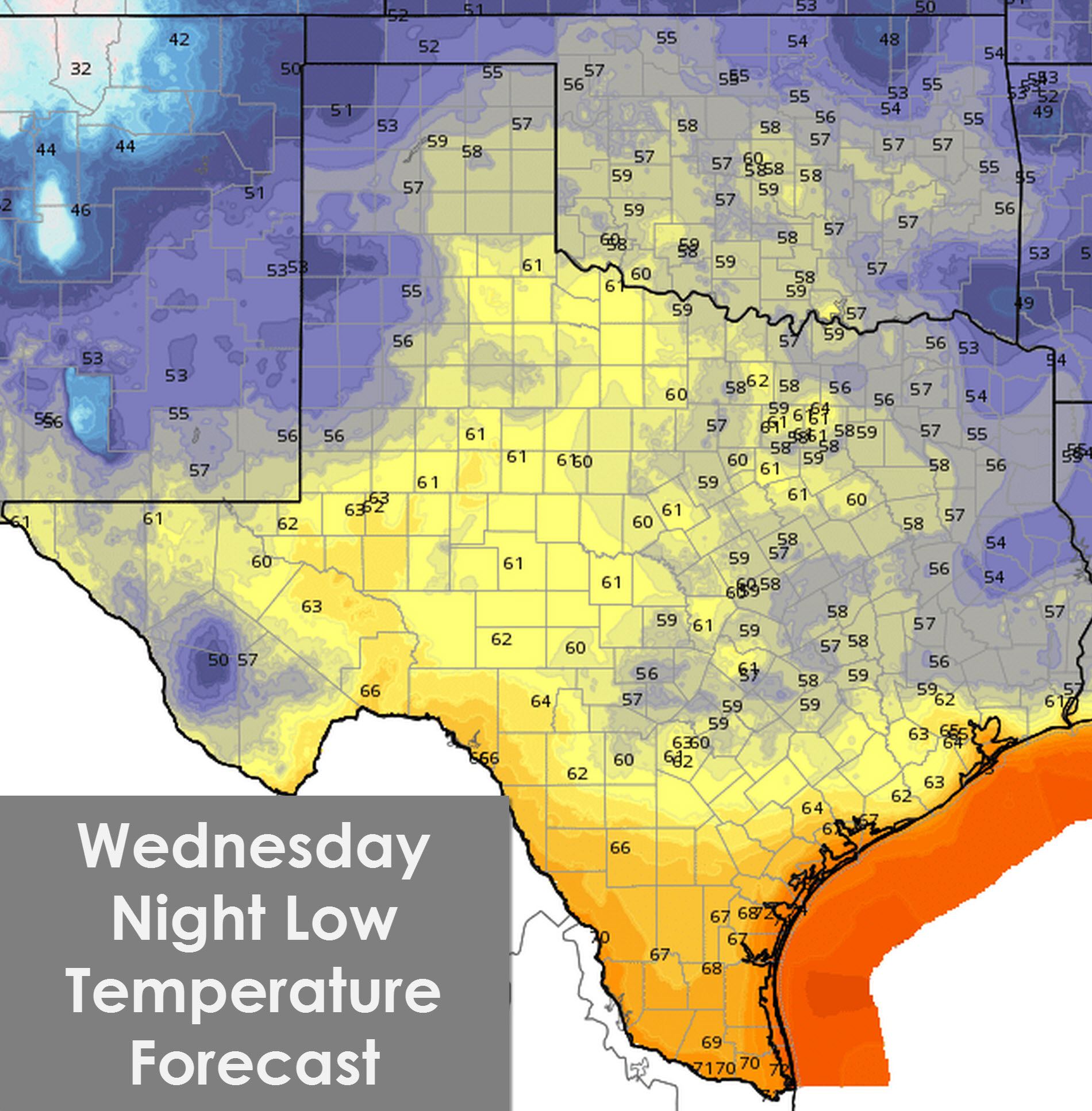
Temperatures will quickly fall after sunset with low temperatures in the 50s to 60s across Texas. The coast and Rio Grande Valley will drop to around 70 degrees. It’ll be another night where we see temperatures drop 30 to 40 degrees compared to afternoon highs.
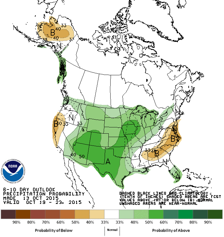
Weather models are still indicating an upper level low moving into our region in about a week. Temperatures should drop back towards average values for October but will remain warm. Precipitation chances continue to look hopeful and we may have a good rain event in our state next week. Stay tuned!


0 Comments