
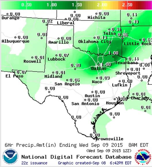
A weak cold front is currently stretched from northeast to southwest across central Oklahoma and down into the southern panhandle. Areas of rain and storms have been developing this afternoon ahead of the front across parts of Oklahoma, the southern panhandle, south rolling plains and northwest Texas. So far, any severe weather associated with this system has stayed up in Oklahoma with our state receiving mainly garden variety showers with a few rumbles of thunder.

The front, and associated rainfall will continue to slowly drift south into north and northeast Texas overnight and into tomorrow morning. Best chances for rainfall tonight will be north of the I-20 corridor with the heaviest amounts of rainfall expected from the DFW metromess up into northeast Texas. Rainfall amounts will vary, but some across these regions could see up to 1 inch by tomorrow morning with lesser amounts the further west and south you go. Since the cold front will be arriving overnight, when instability values are the least, this will lessen the chances for seeing any severe storm development. But, don’t be surprised to be awakened during the night by some thunder, lightning and some gusty winds.
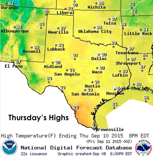
Tomorrow, the front is expected to stall somewhere along the I-20/I-30 corridor. A lot will depend on how lively the storms become overnight as stronger and more expansive storm coverage could produce outflow boundaries that will push the front a little further south. That said, it will be a bit of a “wait and see” what transpires overnight before anyone can say for sure how far south the front will make it. Wherever it ends up, that is where the best chances for additional storm development will reside tomorrow during the day and especially during the afternoon hours as we reach peak daytime heating.

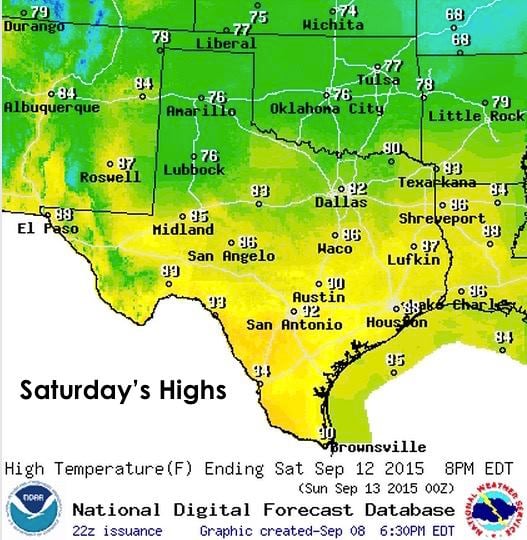
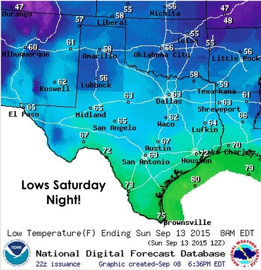
Temperatures behind this front will not be significantly cooler tomorrow or Thursday. Much of the cooling will be due to rainfall and/or residual cloud cover. However, a stronger front is expected to drop south across the Red River on Friday which will lower temps this weekend into the 70s and 80s behind the front, with 50s and 60s for lows overnight behind it! It also appears that it will give tonight’s front a bit of a nudge further south and towards the upper coast by late Friday.

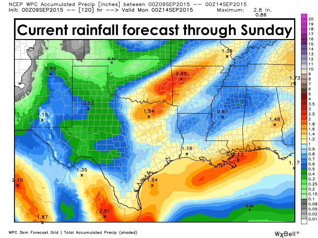
A look ahead….Unfortunately, Friday’s front will likely not make it all the way into parts of south Texas, which will leave this region still in the 90s over the coming weekend. However, rainfall chances will be on the increase for coastal and south Texas as we get into Thursday through Saturday. Some areas could see moderately heavy rain with accumulations exceeding 1 inch, but we’ll wait until more conclusive model data before getting much into the specifics.


0 Comments