
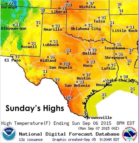
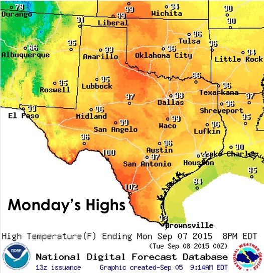
Hot weather lovers will rejoice over the forecast for this Labor Day weekend! With high pressure firmly in place over the state until towards the middle of next week, the dog days of summer will be the primary theme for this holiday weekend. Rain chances won’t be zero…but they will be confined mainly to parts of the panhandle, far western Texas and the eastern/southeastern quadrant of the state. First, let’s take a look at the high temperature forecast through this holiday weekend. Temps each afternoon will reach a few degrees above normal for each afternoon, with Sunday looking to be the warmest day, overall, across the state.

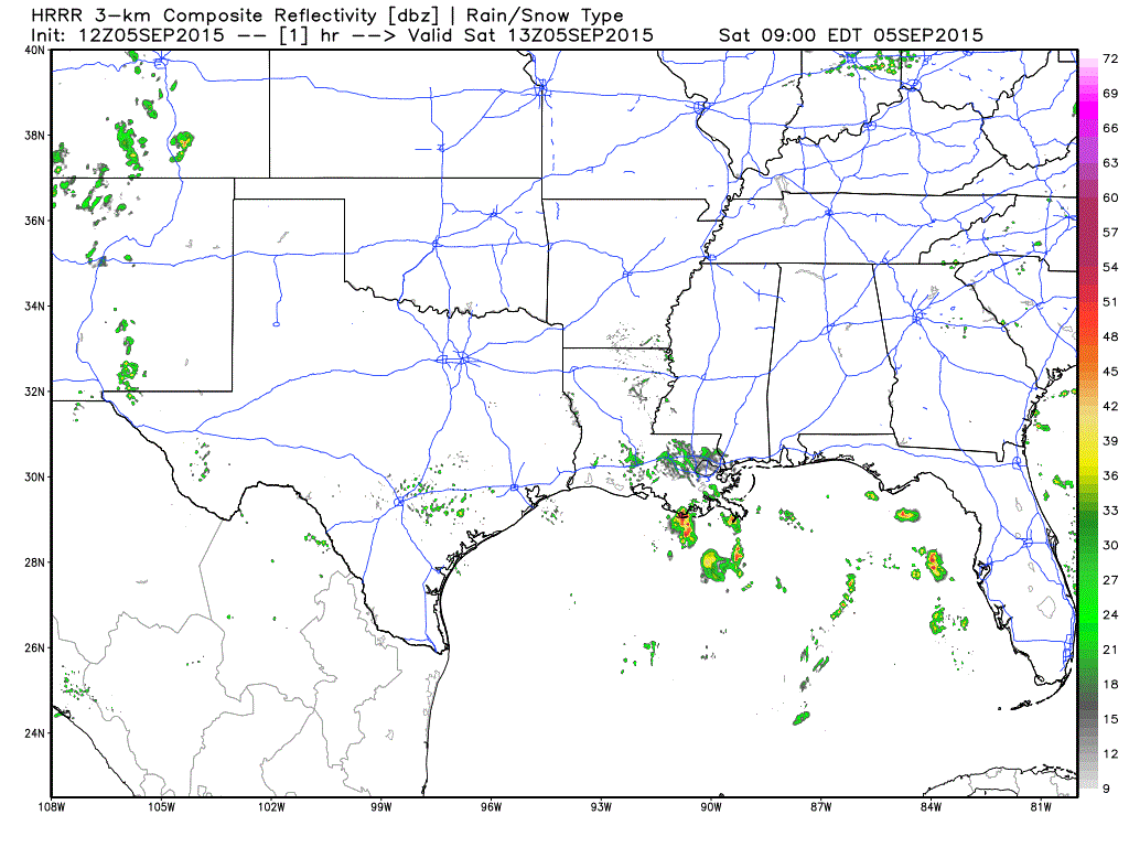
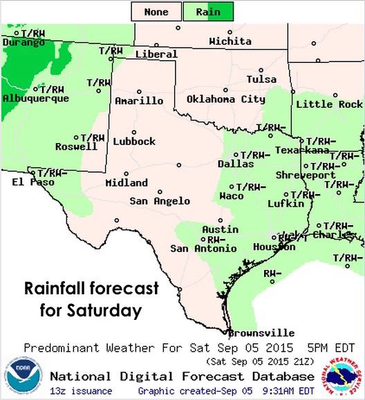
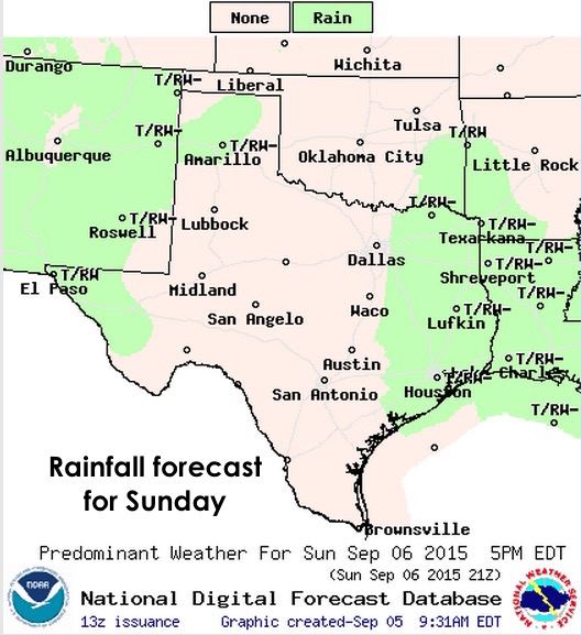
As mentioned above, rain chances will not be zero, but they won’t be all that spectacular either. With little in the way of any upper level disturbances floating around overhead, storm generation each afternoon will be mainly the result of heating. This will result in random pop-up showers developing each afternoon mainly across the eastern/southeast and coastal regions which will die out as the sun goes down each evening. Western Texas, with closer proximity to monsoonal moisture being pumped in across AZ and NM, will also see chances for continued light rain on and off during the day. Any clearing in the skies across this region will promote additional surface heating and the development of afternoon and evening storms. Here’s an animated graphic from one of the short-range models to provide a glimpse at how the radar might look like today…

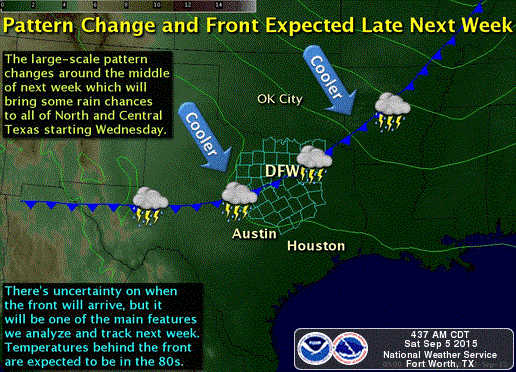
Looking ahead….we are expecting a large-scale weather pattern change next week…but Mother Nature is being her typical fickle self; therefore, it’s a bit difficult to say exactly when and what day this change will take place with the long-range forecast models showing little run to run consistency. We know there will be a nice cold front. Not a super strong one, but it will drop our temps down a bit and provide rain chances. It’s just a matter of when…hopefully by mid-week. So, we’ll just have to keep watching it and will keep updating as the forecast continues to refine.


0 Comments