
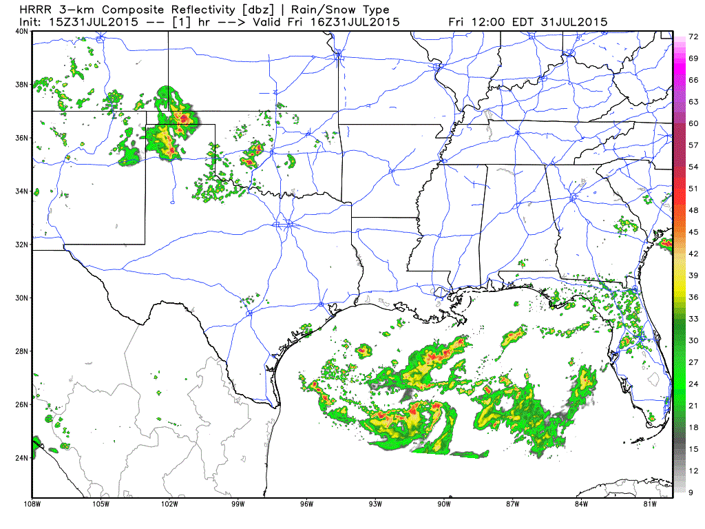
A dying mesoscale convective system continues to bring rain across the eastern panhandle, south plains and northwest Texas this morning. This is expected to linger for several more hours before diminishing and then rebuilding later this afternoon as we begin to heat up. Here’s a look at the latest simulated radar forecast through around 11pm tonight. Most of the rain activity today is expected to remain west of the I-45 corridor and west of the DFW metroplex.

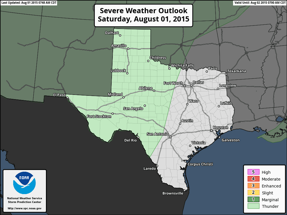
The severe weather outlook for today gives only marginal chances for seeing strong to severe storms mainly across the western 1/2 of the state. The main threats today will be downburst winds, lightning and isolated flash flooding under some of the nearly stationary cells that develop.
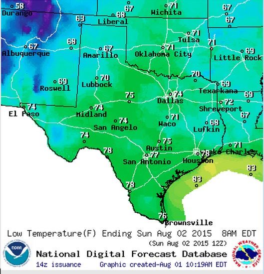
We are still seeing a little bit of relief from our Thursday cold front, but mainly in the form of decreased humidity levels across north central and northeast Texas. Dewpoints here will drop into the 50s by this afternoon which will make being outdoors this afternoon and evening much more tolerable than we’ve seen over the past several weeks.

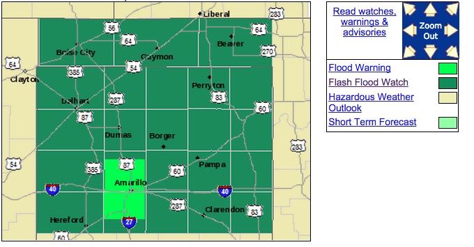
Further west, with high pressure sitting over the south plains, and a bit of monsoonal moisture flowing around the high over western and northwest Texas, rain chances today will be confined to mainly western Texas, the panhandle, permian basin and west central Texas. Not seeing any obvious disturbances in the upper levels across the area today, so storm development will mainly driven by surface heating and subtle outflow boundaries from this morning’s convection across the area. A Flash Flood Watch is in place across the panhandle until later this evening. We expect this pattern to continue at least through the beginning of next week.

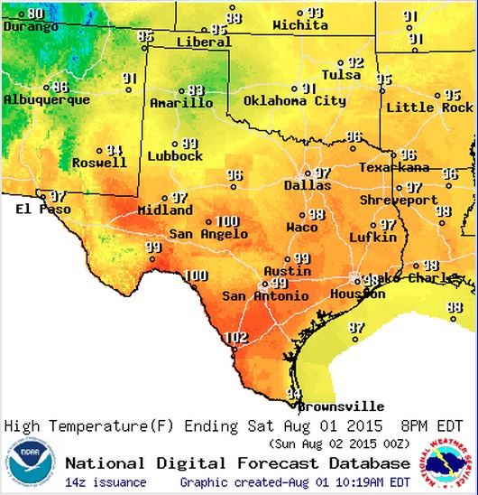
Highs today will not be all that bad for this time of the year. Continued rain chances and cloud cover will limit the amount of surface heating in the panhandle with very pleasant highs in the 80s expected. Across northern Texas, we’ll be in the 90s…but anything under 100 is great for the first part of August. The heat will continue to be an issue across south central and south Texas with highs between 99 and 102 expected…especially across the Rio Grande plains region. Slightly drier air across this region today will help to keep the heat index readings under control, but it will still feel quite hot and uncomfortable during the afternoon hours.
Lows tonight will drop into the 60s across the panhandle and even into eastern and northeastern Texas. That will be quite a treat from what we’ve seen recently. Both highs and lows will begin to creep back up as we head into next week, so enjoy the brief overnight cool-downs while they last!!


0 Comments