
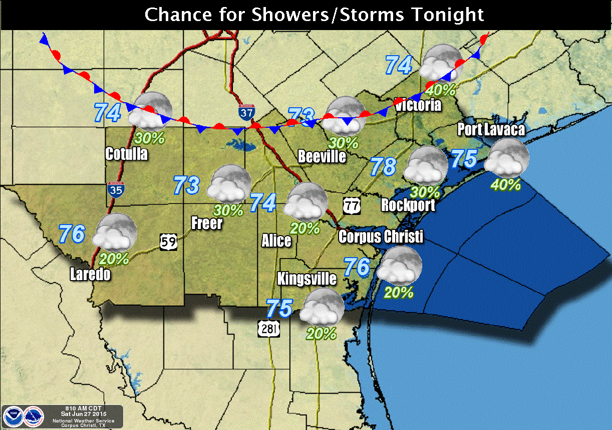
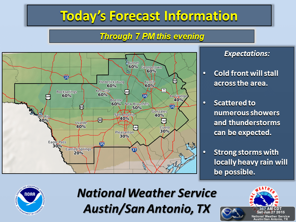
Our welcomed June cold front continues to push south across north Texas this afternoon and is expected to stall out somewhere across central/south central Texas by tomorrow. Rain chances will continue today and into tomorrow along and ahead of the cold front with more numerous storms erupting this afternoon as we reach peak daytime heating and maximum instability. We could see a few storms become strong to severe with the potential for very heavy downpours, isolated strong winds and lightning…but the overall threat widespread severe weather is very low. Folks with outdoor plans this afternoon pretty much anywhere south of I-20, along the coast, and including parts of far west Texas, will need to keep an eye on the sky. It doesn’t take a big storm to produce deadly lightning. Localized flash flooding is also a possibility under any of the stronger storms that develop. 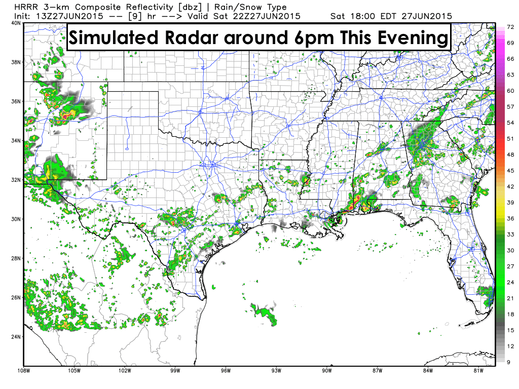
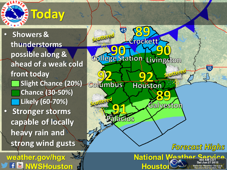
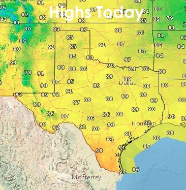
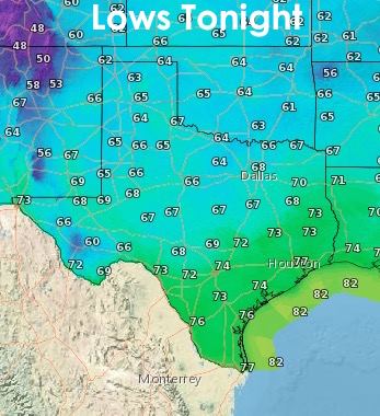
As the cold front drops south today, drier air and slightly cooler temps will filter in behind it. Folks from the panhandle into northern Texas will be enjoying a little less humidity today and tomorrow than we’ve had in the past few weeks. That’s certainly nice! By tomorrow, central Texas will also be enjoying less of that warm wet blanket feeling, but it will be short-lived as south winds and increasing moisture will return to the state by early next week. The cold front will drop temps a few degrees…enough to be noticed, but not enough to make that big of a difference in daily highs. For residents along the coast today, the heat index will remain high…at or close to 100 degrees…so try to avoid strenuous outdoor activity during the heat of the day if at all possible. If you have to be out working, stay hydrated and wear some light protective clothing and plenty of sunscreen!


0 Comments