

HRRR Simulated Radar Forecast from WeatherBell.com

HRRR Simulated Radar Forecast from WeatherBell.com
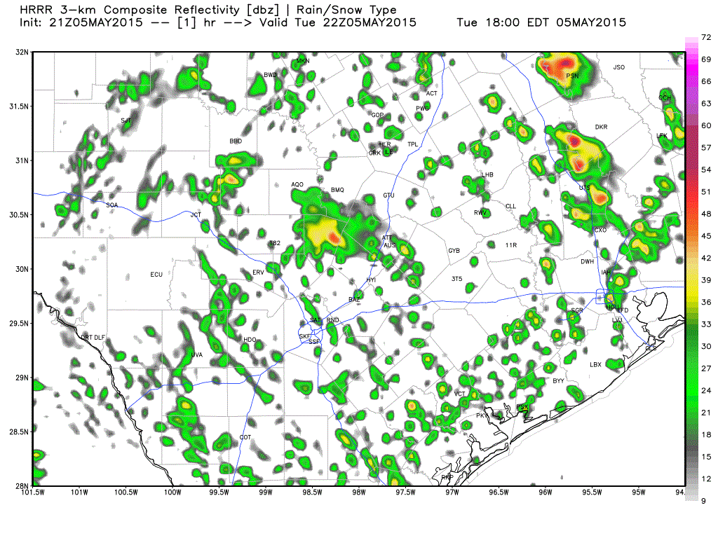
It has been a very active 24 hours in the Texas Panhandle, South Plains, Permian Basin, and West-Central Texas. Some folks have seen more rain in the past day then in the past six months combined. We’ve seen at least one tornado northeast of Big Spring and plenty of hail reports across the region. All of this active weather is being caused by a pesky upper level low sitting over the Texas Panhandle with a surface low east of Big Spring. These features will slowly progress eastward tonight with a corridor of heavy rain expected to develop just east of these features. Where this band sets up will likely have an enhanced potential for heavy rain and potential flooding. This corridor looks to set up along or just west of Interstate 35 late tonight from Central Texas northward into Central Oklahoma. This band of heavy rain will likely feature some storms with small hail – but the severe weather threat will be low. The heaviest storms will be very efficient rain producers with the potential for flash flooding.


0 Comments