
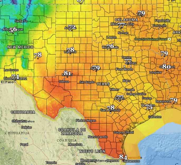
Today will be a mostly cloudy day for most of Texas with average springtime temperatures. We’ll see 70s to lower 80s statewide. Our primary focus is on the potential for a few days of active storms starting later today.

The Storm Prediction Center has placed much of West Texas, the Concho Valley, Hill Country, South Texas, and Southeast Texas in a risk of severe storms later today into this evening. We’ll see an upper level low pressure slowly move east across New Mexico today. This will leave most of Texas with a lack of upper level wind shear and thus one element necessary to support a more organized storm mode. However with ample instability in place and the potential for small clusters of storms we could see a risk of hail and damaging wind gusts later today. Not everyone will get rain nor will every storm be severe. The strongest storms across the Big Country into South-Central, Deep South Texas, and Southeast Texas will be capable of producing ping-pong ball size hail and localized damaging wind gusts up to 70 MPH.
An enhanced risk of severe weather has been issued for the eastern two-thirds of the Texas Panhandle south onto the Caprock where more abundant wind shear will combine with atmospheric instability. Here we could see a more organized severe weather threat develop this afternoon and continue into the evening hours. Initial thunderstorms will likely be supercellular with a risk of very large hail up to the size of tennis-balls and localized wind gusts up to 70 MPH. A window will exist for some tornado potential. By early evening storms should congeal into one or more clusters with an increasing risk for damaging wind gusts in addition to hail potential. Once storms form into clusters versus being out by themselves is when we’ll see the tornado risk become low. The greatest potential for a few tornadoes will be around sunset as some storms remain discrete and we see an increase in low level wind shear.
I’ll be chasing in the Texas Panhandle later today and should have a live stream up at texasstormchasers.com/live. Jenny will also be out chasing in that general area as well. You can track the storms using our free interactive radar at texasstormchasers.com/radar


0 Comments