
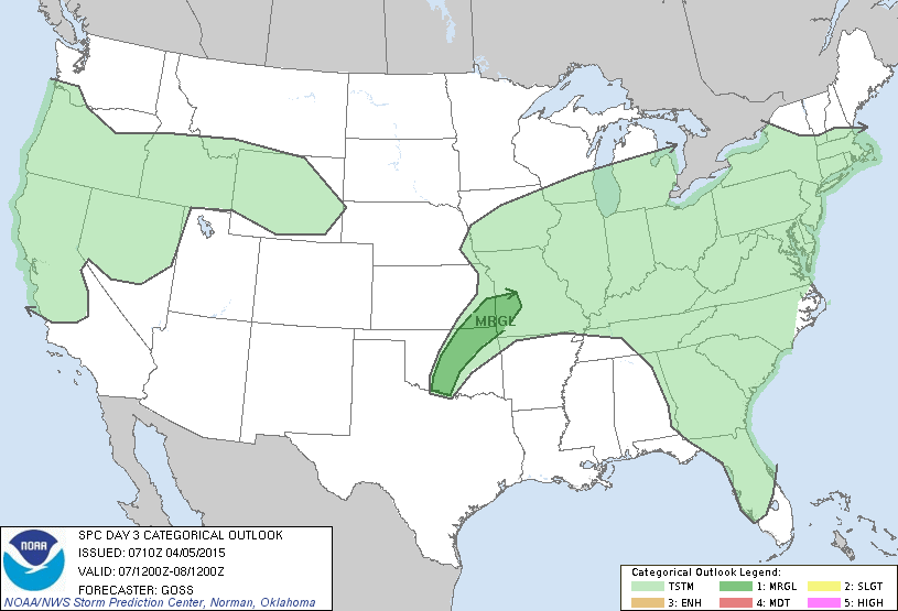
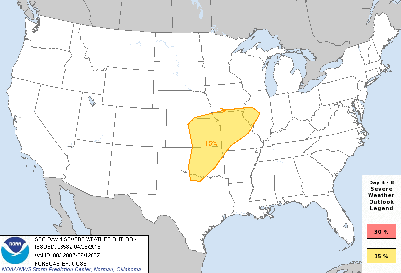
The spring tornado season will ramp up in a hurry this week. Storm chase operations are expected on Tuesday and Wednesday and possible on Monday and Thursday. For the first time in a few years it appears a multi-day stretch of high-end severe weather will be possible in the Plains. At this time isolated severe thunderstorms will be possible in Texas on Wednesday and Thursday but the most widespread/high-impact stuff looks to be north of Texas based on the current data. That could change so I encourage you to check back for forecast updates this week. In terms of our chase plans I’ll discuss them day-by-day.
Monday
A strong cap will likely prevent thunderstorms from developing on the dryline. If storms were to develop in western Oklahoma conditions would strongly favor supercells with baseball size hail and a potential tornado threat. There’s a 4 out of 5 chance nothing will break the cap tomorrow so the overall chance of chasing is low but we’ll watch it.
Tuesday

Storm chase operations are expected in northern Oklahoma or southern Kansas. A strong cap will once again make it difficult for storms to develop but we should see a couple fire up in the late afternoon. Conditions will favor organized and severe storms with large hail and damaging winds. Of all the potential chase days this week the tornado threat looks lowest on Tuesday but we’ll still be out.
Wednesday
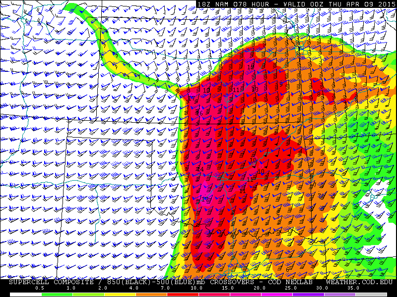
A high-impact and potentially dangerous severe weather event is possible across Oklahoma and Kansas on Wednesday. Conditions appear to be coming together to support a significant tornado threat with long-lived supercells. Chase operations are guaranteed somewhere in the PLains with the eventual target becoming more clear as we get closer to Wednesday.
Thursday

Severe weather is probable across portions of Northeast Texas into the Midwest as we continue the multi-day stretch of active severe weather. Large hail and damaging winds look to be the main threat right now but a tornado threat is certainly possible. The most likely zone for severe weather would be in eastern Oklahoma, Arkansas, and Missouri but that could change as we get closer to Thursday. We may be chasing but that’ll depend on how things look and what happens on Wednesday.


0 Comments