

Today will be a fairly classic spring day weather wise across Texas. To the west of a dryline strong southwest winds will usher in hot and dry conditions to West Texas, Northwest Texas, into the Big Country and Concho Valley. The 90s are back with San Angelo currently progged to hit 94 degrees this afternoon. I’m certainly not ready to deal with anything that warm just yet. East of the dryline we’ll see 80s with southeast winds and humid conditions. Either way today will feel like Spring across Texas.
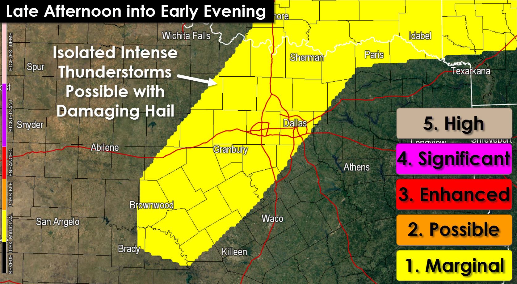
Our main focus and potential chase target is just east of the dryline in North Texas this afternoon. Compared to Wednesday the cap will be stronger and we won’t have much to help storms develop. However with the warm temperatures in place I think we may see one or two thunderstorms pop up this afternoon. If a storm is able to break the cap it will likely become quite intense. The atmosphere will be strongly unstable and wind shear will also be quite supportive of supercells. That means while the thunderstorm coverage will be low any storm that goes up will likely be a big hailer. In fact I can’t even rule out an isolated tornado with any storm that fires up. On the other side of the spectrum there’s a chance the cap will hold tough and no storms will fire up at all this afternoon. It’s going to be a case of blue skies or one heck of a thunderstorm this afternoon. I’ll be in North Texas running some errands this afternoon so if a storm manages to break the cap I’ll probably be chasing it with the live stream and all. We’ll have an update on thunderstorm chances this afternoon just before lunch time so be sure to check back for the latest.

0 Comments