


This is the first time this year I think I’ve had the opportunity to talk about strong storms. Mind you we’re not talking about severe or tornadic thunderstorms but they’re sure to rattle some folks. The storms are essentially in a southwest to northeast oriented band from near Lake Jackson (southwest of Galveston) northeast to Baytown, Liberty, Beaumont, to Livingston, Jasper, and San Augustine. The strongest storms at 4:30 AM were from near Alvin with another near Anahuac and two more between Liberty and Beaumont. These storms are producing frequent cloud to ground lightning along with very heavy rain. All activity is moving just west of due north to almost north/northwest. No severe weather (large hail, destructive winds, or tornadoes) is expected this morning. The strongest storms will produce frequent cloud to ground lightning and localized wind gusts up to 45 MPH. Heavy rain is also being produced which may cause minor nuisance flooding in trouble spots. Further north away from the Gulf Coast in East Texas there are a few lightning strikes in an otherwise widespread area of moderate rain.
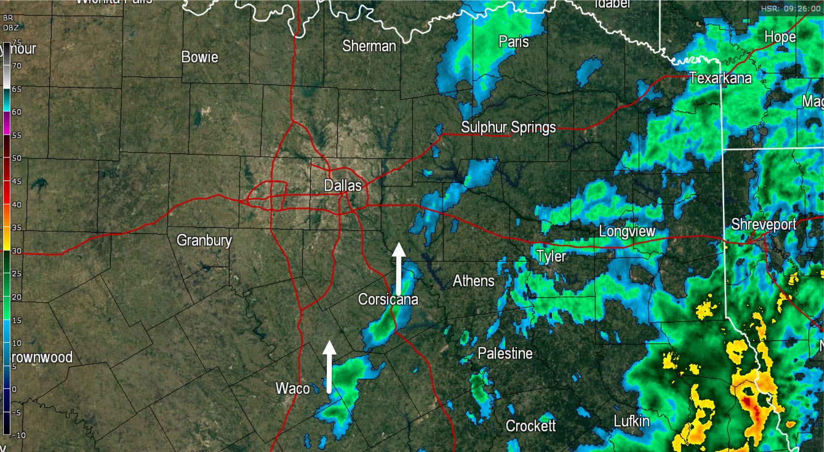
Showers are moving north across South Texas, Central Texas, North Texas, and Northeast Texas. These showers are producing light rain which for the most part is just enough to wet the ground. We’ll see these showers continue most of today as the low pressure in the Gulf of Mexico continues to move north.


0 Comments