
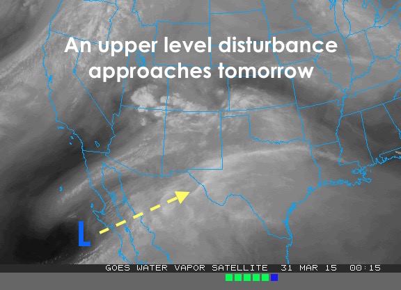
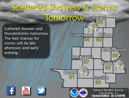
After a quiet weekend, we’re back to a bit more unsettled pattern beginning tomorrow with the arrival of our next upper level system. Rain chances will be on the increase tomorrow evening across west/west central and northwest Texas as an upper level system, currently just off the Baja coasts moves into northern Mexico and western Texas. As the low approaches, it will weaken, but lift from this disturbance is expected remain sufficient to kick off storms across western parts of the state by around noon tomorrow spreading north and east across parts of the eastern panhandle, west central and northwest Texas through the afternoon and evening hours.
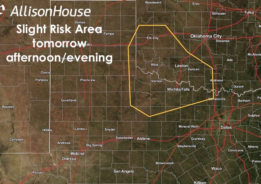
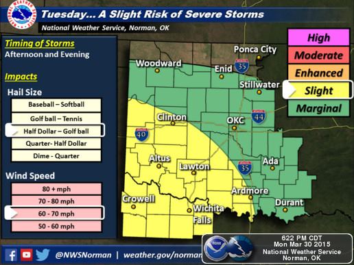
Severe Weather Concerns Tomorrow: The Storm Prediction Center has placed a portion of northwest Texas and southwestern Oklahoma under a Slight Risk for severe storms tomorrow afternoon and into the evening hours. Folks in Wichita Falls, Vernon and surrounding communities will need to keep an eye to the sky tomorrow evening as any storms that develop will have ample instability to work with and could quickly become severe with a threat of hail and damaging downburst winds. Folks across the eastern panhandle and down towards Abilene, San Angelo, Big Springs and surrounding communities could also see a few strong storms develop also carrying a wind and damaging hail threat…though the coverage of severe storms is expected to be much less across these areas. Needless to say, if you have outdoor plans tomorrow, keep an eye to the sky and seek shelter immediately should threatening weather approach your location.

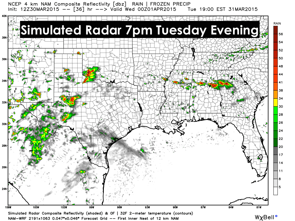
Here’s a look at what the radar might look like at about 7pm tomorrow evening. This should give everyone a general idea of where best chances for storms will reside by late tomorrow afternoon.
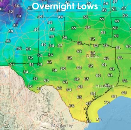
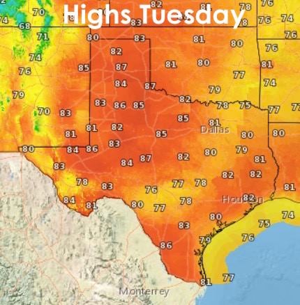
Last, but not least, here’s a look at our overnight lows and tomorrow’s daytime highs. We’re getting to that time of the year when overnight lows are quite pleasant. I’d like to say leave the windows open, but with all the pollen and springtime bloom in the air right now, that might not be a good idea! Anyway, we’ll be keeping an eye on the radar tomorrow afternoon and will provide updates once the storms get going!


0 Comments