
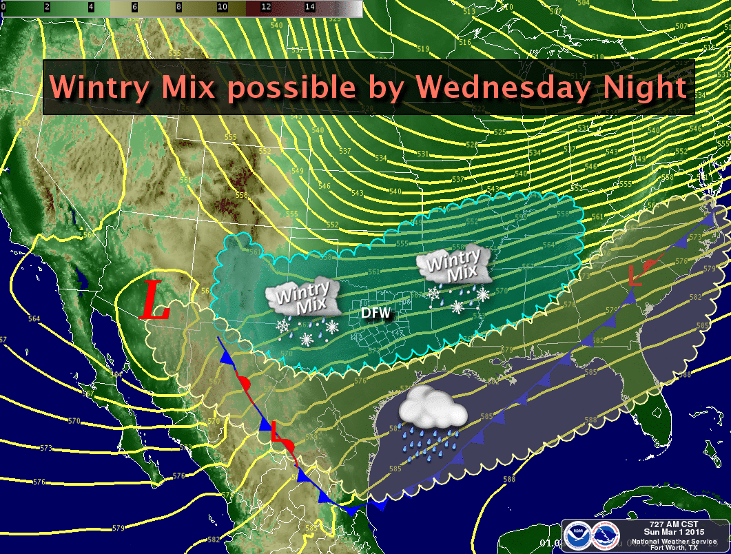
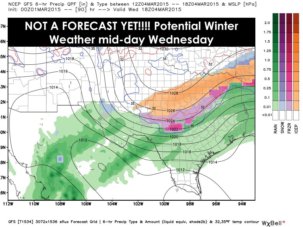
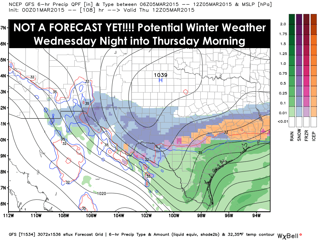
Looks like by mid-week, we get to do this all over again as yet another arctic front arrives late Tuesday with widespread precipitation expected behind the front Wednesday into Wednesday night as another upper level system moves across the state. It’s still too early to talk about possible accumulations or other specifics, but here’s a “heads up” that a winter mix is likely to impact West Texas, parts of the Big Country/Concho Valley, southern Panhandle, Rolling Plains and North Texas. At this time, snow looks to be the predominant precip type from about Abilene west towards Midland/Odessa to San Angelo and down into the Big Bend Region. A mix of snow/sleet/freezing rain looks most likely for areas east of Abilene up into the Dallas/Ft. Worth metro area and possibly down towards Waco and into the Hill Country. Again, the specifics are still fuzzy as we are still quite a few days out and the exact track of this next system is still unclear. As always, any shift to the north or south with this next system could mean more or less winter weather expected over any of these locations. We will certainly keep our eyes on it and look for additional updates out this evening!


0 Comments